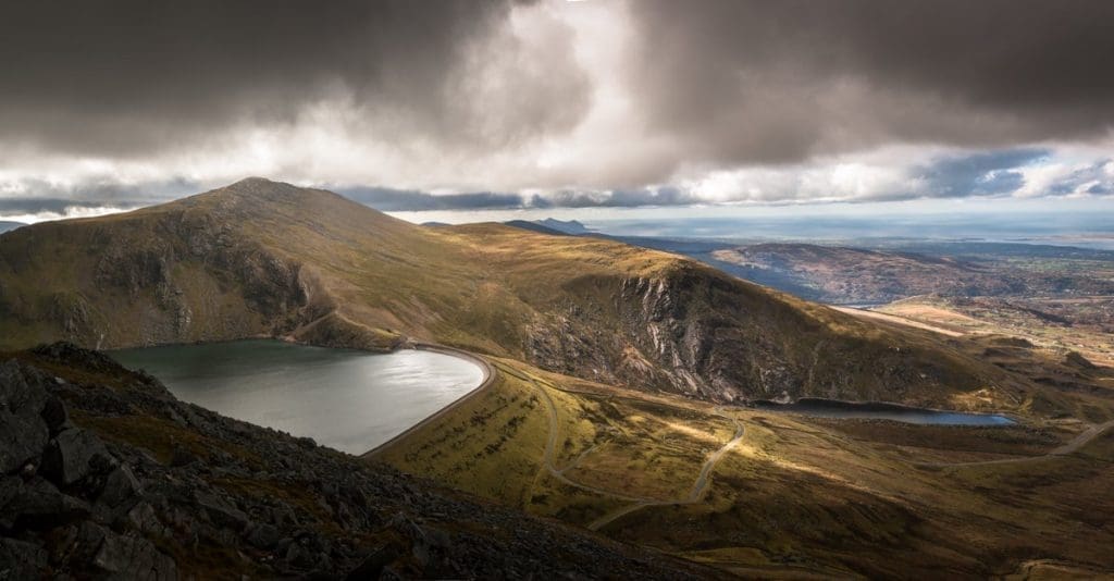
Marchlyn Mawr first caught my attention on Strava’s segment map. It looked like a road to nowhere, climbing high into the mountains above the North Wales villages, and went straight onto my list of climbs to ride. I have climbed it a couple of times and loved it: the steep opening effort gives way to broad bends, an exposed upper road and views towards the coast.
This is a working reservoir access road associated with Dinorwig power station, rather than an ordinary through-road or a purpose-built cycling attraction. The account below describes my rides, not a guarantee of current access. Check signs and the landowner’s current arrangements before entering, and respect closures, gates and operational areas.
Where is Marchlyn Mawr?
Marchlyn Mawr is the upper reservoir in the Dinorwig pumped-storage system, with Llyn Peris below. The road climbs into the mountains above Mynydd Llandegai, making it an out-and-back addition to a ride rather than a pass that leads into the next valley.
My ride finished at roughly 630 metres above sea level. That makes it a high and exposed paved climb, but it is not a basis for claiming an absolute North Wales height record: comparisons depend on the road, endpoint and access being counted. The more useful question is how much climbing your chosen approach adds before the final road.
Approaching via Fachwen or Tregarth
| Approach used on my rides | Approximate recorded length | Approximate ascent |
|---|---|---|
| Fachwen / Electric Mountain approach | 4.9 miles / 7.9km | 1,719ft / 524m |
| Sling approach from Tregarth via Mynydd Llandegai | 6.2 miles / 10km | 1,750ft / 533m |
Those figures describe the longer approaches from my original rides, not the length of the reservoir road alone. Different start points and GPS recordings will produce different totals. Use a current map to plan the full approach and return, rather than navigating from a climb name or a segment leaderboard.
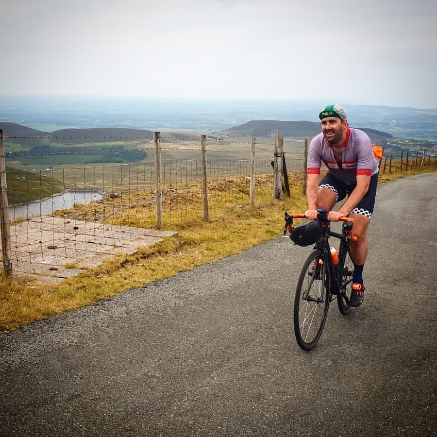
The Fachwen option is a substantial climb in its own right. Coming from Tregarth via Sling and Mynydd Llandegai also adds work before the upper road begins, so leave something in reserve. For other climbs to combine into a North Wales trip, see my guide to cycling climbs in North Wales and Snowdonia.
The steep opening section
On my rides, the initial easier stretch was short-lived. It was followed by roughly half a mile of double-digit gradient, which made the approach miles noticeable in the legs. Select a manageable gear before the slope bites rather than trying to recover your rhythm after starting too hard.
Beyond the junction towards the surge pool, the main climb eased to something closer to 6–8% in my ride notes. It still demanded work, but there was enough relief to settle down and look ahead. These are descriptions of the riding, not a surveyed gradient profile or a reason to enter any side road.
The upper bends and final effort
The upper road opens out into wide bends. You can see riders further ahead moving across the hillside, which gives a much clearer impression of what remains than you get on a climb hidden in trees. The gradient built back towards 10% on parts of this section.
It has a different feel from the tighter bends on the Stwlan Dam climb. The open hillside also leaves you more exposed to the weather, so a headwind can make the same stretch feel quite different from one ride to the next.
Near the end, I found a brief easing before the final kick. The tunnel entrance was a clear visual landmark on my rides, but it is part of the operational infrastructure, not a public attraction to enter. Stop outside restricted areas and follow any signs or instructions rather than chasing a historical segment endpoint.
Take care on the descent
The cattle grid on the upper section deserves particular attention. I noticed a pronounced concrete edge on my rides, and it is something to inspect on the way up and approach slowly on the return. Cross grids with the bike as upright and straight as conditions allow, leaving space from other riders.
Do not assume that a road restricted to general traffic is empty. You may encounter authorised vehicles, walkers or maintenance activity. Control your speed before bends and before any obstacle you cannot see beyond. A previous visit does not tell you what debris or surface damage may be present today.
Make sure you can comfortably reach both brake levers throughout the descent. Our guide to using the drops for control explains why hand position should suit your reach and confidence rather than simply looking aerodynamic.
Access and equipment checks
An old ride report or a visible GPS trace does not establish permission to cycle. If the current arrangements are unclear, confirm them with the landowner before making the upper road the purpose of your trip. Do not lift a bike over a locked gate or bypass a restriction on the assumption that previous riders did so.
Carry a layer for the descent, basic repair equipment and enough food and drink for the complete outing. Check the mountain forecast as well as conditions in the valley. Low cloud and wind can change the appeal of an exposed climb quickly, and there is no need to reach the end if conditions deteriorate.
For a separate ride with a coastal setting, the Great Orme cycling guide offers another North Wales option. Marchlyn Mawr’s attraction for me remains that progression from a hard opening slope to the open upper bends, provided access and conditions allow the ride.