The South West offers everything from surfaced railway paths to steep, rocky bridleways. The useful question is not just where you can take a gravel bike, but whether the route has cycling access and terrain you will enjoy. A line marked as a path on a map is not automatically a legal or manageable bike route.
For a first outing, choose a named cycle route with a clear surface description and an easy way to shorten the ride. For a harder day, the permitted bridleways of Exmoor, Dartmoor and the Somerset hills offer more climbing, rougher ground and greater exposure. Expect some routes to feel closer to mountain biking than fast gravel-road riding.
Choosing an area
| Area | Best starting point | Main consideration |
|---|---|---|
| Exmoor | A planned bridleway-and-lane loop | Steep climbs and potentially rough descents |
| Dartmoor | Published Granite & Gears routes around Princetown | Rocky ground, exposure and permitted access |
| Dartmoor’s western edge | Granite Way | A gentler cycle-path outing rather than technical gravel |
| Quantock Hills | Mapped bridleways and restricted byways | Choose terrain carefully; not every track is a cycling route |
| Mendip Hills | A checked mix of lanes and cycling-permitted tracks | Limestone, mud and steep sections can change the difficulty |
Exmoor: for riders comfortable with hills
Exmoor’s network of bridleways makes it a useful place to plan an off-road ride, but the national park is not one continuous gravel trail. Link suitable sections with lanes and inspect both the elevation profile and access status. A short loop can still involve substantial climbing.
For a first visit, avoid building a route simply by joining the most direct lines on an app. A descent that looks short can contain loose stone, ruts or awkward gradients. Choose an achievable distance, allow time to walk sections and check the park’s path-closure notices before heading into a remote area.
Dartmoor: use designated routes
Dartmoor’s cycling access is specific: open moorland and common land are not generally open to bikes unless you are on a designated bridleway or permitted route. The national park’s cycling map is a better planning tool than a heatmap, which shows where people have ridden rather than whether they were entitled to.
The Granite & Gears options around Princetown include published railway and Burrator routes. These provide a defined starting point for planning, although a permitted route can still have rough surfaces that require care on a rigid gravel bike. Check the route description rather than assuming the word “railway” guarantees smooth gravel.
The Granite Way between Okehampton and Lydford is a different proposition: a gentler cycle-path ride along the western edge of the moor. Much of it is surfaced, so it is useful for a relaxed outing or mixed-ability group, rather than a destination for sustained technical off-road riding.
Quantock Hills: check the descent as well as the climb
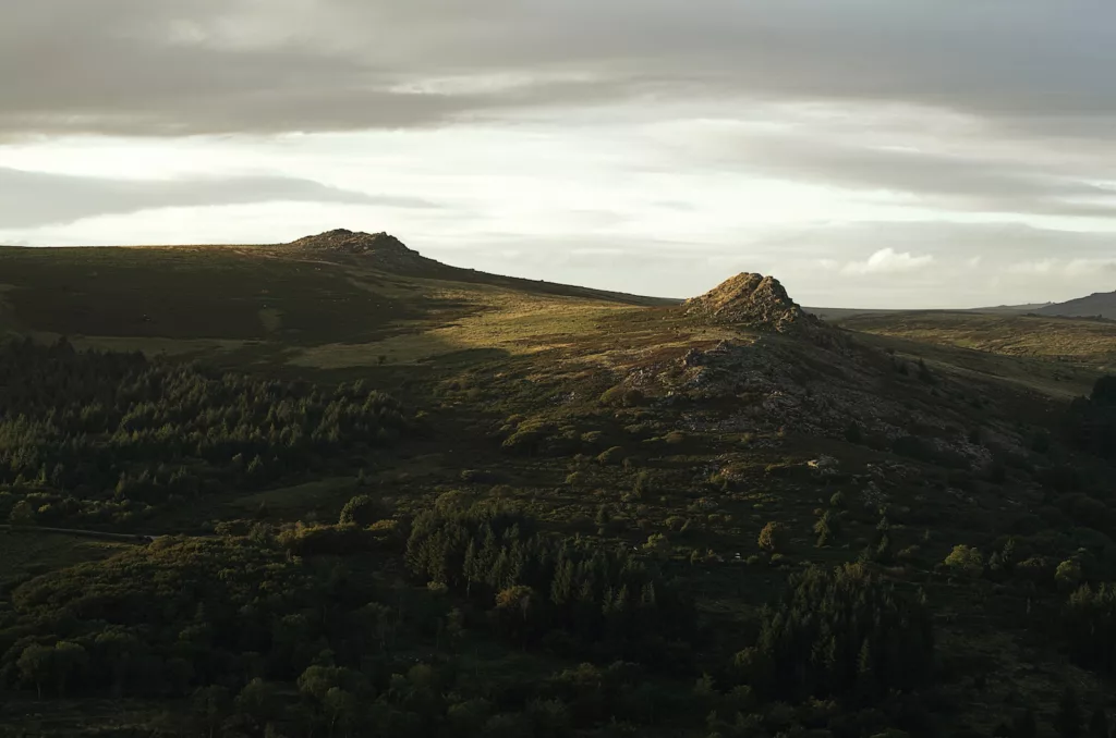
The Quantocks have bridleways and restricted byways that can be linked into hilly rides. Their compact size should not be confused with easy terrain. Check contours and recent surface information when planning, particularly if you are trying to avoid steep, loose descents.
Use the current rights-of-way map and follow signed access on the ground. Keep speed down around walkers and horse riders, and avoid widening a muddy line by riding across adjacent vegetation. A route that suits a mountain bike may be an awkward day out on narrow tyres.
Mendip Hills: build a route around confirmed access
The Mendips suit mixed rides combining lanes with suitable off-road sections. Plan the actual tracks you intend to ride rather than choosing the hills as a destination and improvising across any visible path. Riding through Cheddar Gorge on the road is not itself a gravel route.
Rocky or muddy sections can be demanding even when the distance is modest. Pick a loop with practical escape points onto roads, and be prepared to walk a rough section rather than choosing a bike solely to complete every metre in the saddle.
Can you cycle the South West Coast Path?
Most of the South West Coast Path is a walking route and is not open to cycling. It should not be recommended as a general gravel-bike itinerary. Some sections coincide with routes where cycling is permitted, but that permission must be checked section by section; it does not extend to the whole coastal trail.
For a coastal outing, use a designated cycle route with confirmed access. Do not assume that a GPX file, a wide surface or evidence of previous bike use establishes a right to ride.
Bike setup and planning
Choose tyres for the roughest section you expect to encounter, with enough clearance for mud and pressures appropriate to the rider, tyres and rims. Carry a repair kit, pump, food, water and a layer for exposed ground. Our tyre inflation guide explains the checks behind a sensible starting pressure.
Steep ramps are easier with usable low gears and controlled pacing. Read our advice on short, steep climbs, and shorten the route if the weather or ground conditions deteriorate. For more forest and railway-trail options elsewhere, see our Midlands gravel riding guide.
-
 Photo Credit: quentinphotographiebe
 -
 Photo Credit: Getty