
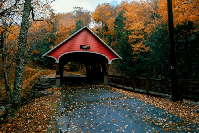
The White Mountains do not resemble Europe’s great cycling regions. There are no strings of villages built around famous cols, no summit cafés filled with jerseys and few roadside signs reminding riders that a Grand Tour once passed through.
What New Hampshire offers instead is a rougher and more self-contained kind of mountain cycling. Roads disappear into dense forest, climbs rise through long corridors of maple, birch and spruce, and services can vanish for the length of an entire ride. The elevations are modest beside the Alps, but the gradients, weather and repeated climbing make that comparison largely irrelevant.
At the centre is the Kancamagus Highway, one of the best-known scenic roads in New England. Around it sit Bear Notch, Crawford Notch, Pinkham Notch, Kinsman Notch and the brutally steep Hurricane Mountain Road. Mount Washington rises above everything, although cycling access to its Auto Road is normally restricted to organised events.
This is not a destination built for effortless café riding. It rewards early starts, careful planning and a willingness to carry more food and clothing than the distance might suggest.
That independence is precisely what makes cycling in the White Mountains feel special.
Why cycle in the White Mountains?
The White Mountains compress a remarkable amount of terrain into a relatively small area.
A rider can climb through Franconia Notch, cross a forested pass, descend beside a mountain river and reach a compact New England town within the same day. A longer route can link several distinct valleys without requiring Alpine distance or altitude.
The climbing is rarely smooth. Roads often begin gradually, steepen suddenly and flatten without warning. The hardest ramps can be hidden by forest, while descents demand attention because sight lines are short and road conditions can change around each bend.
There is also genuine variety. Road cyclists have major scenic highways and quieter mountain connections. Gravel riders can use seasonal forest roads such as Jefferson Notch Road, Tripoli Road and Cherry Mountain Road, while less experienced cyclists have the separated recreational path through Franconia Notch.
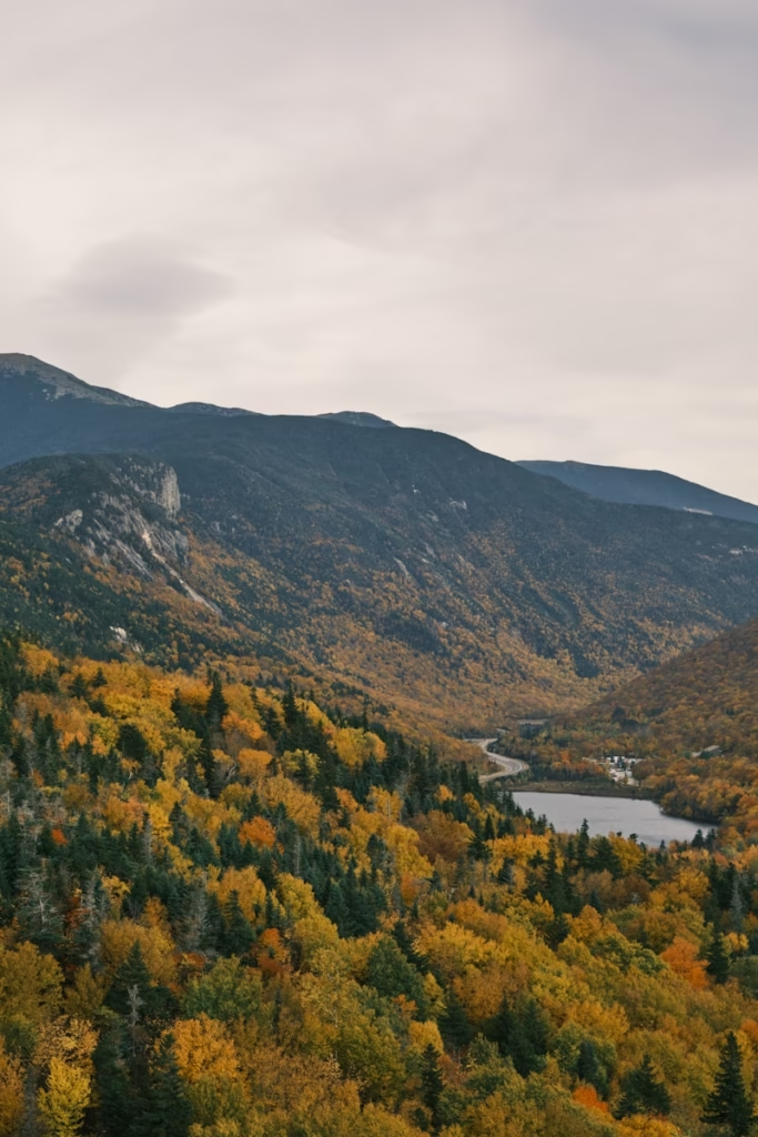
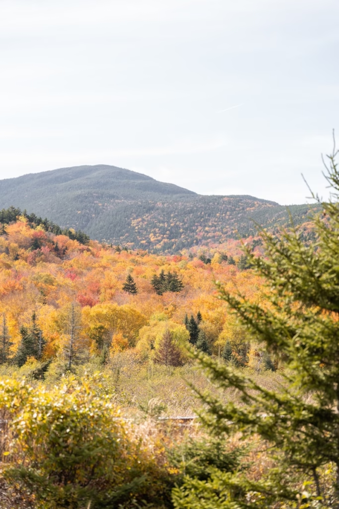
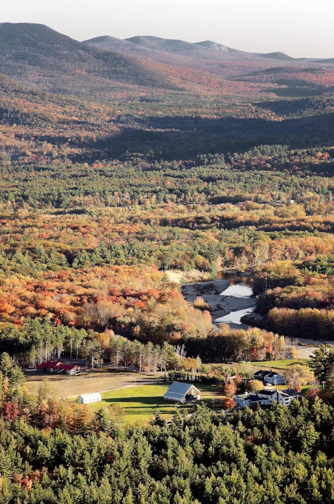
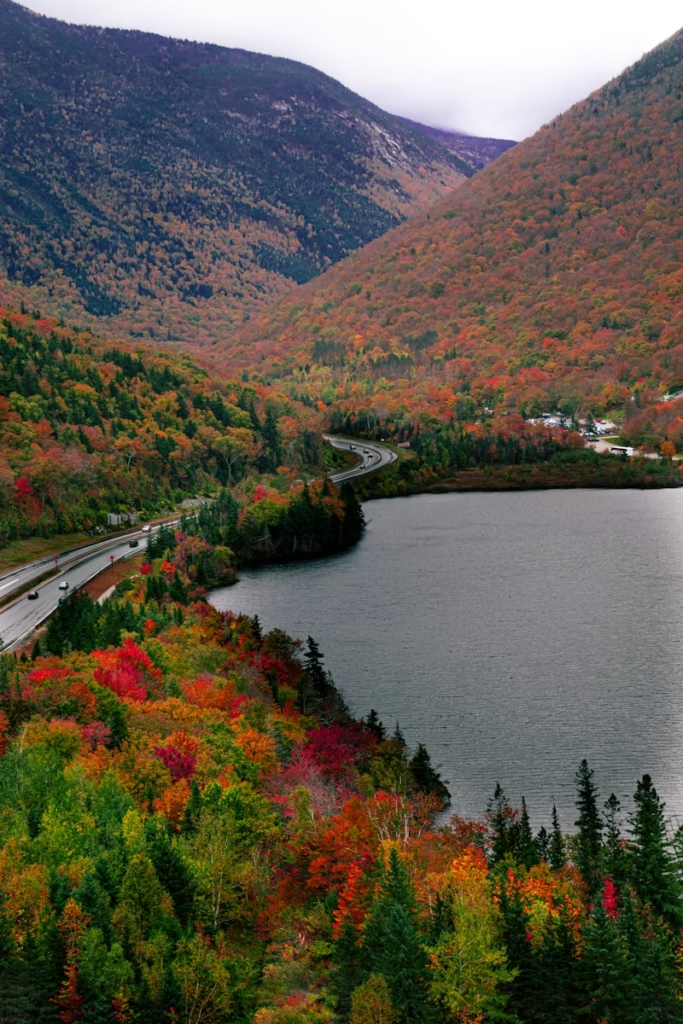
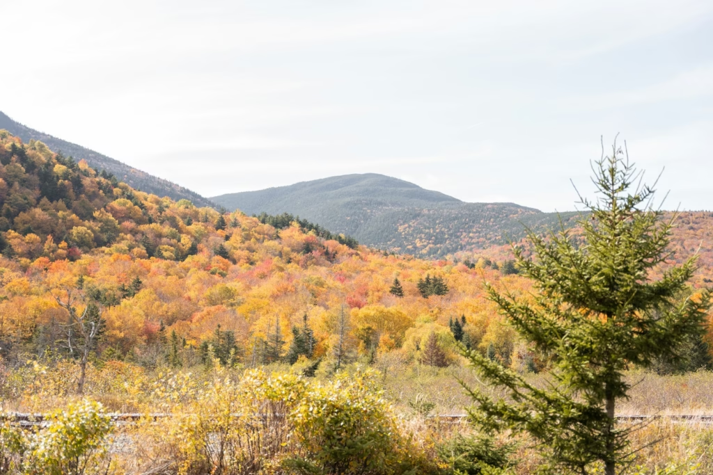
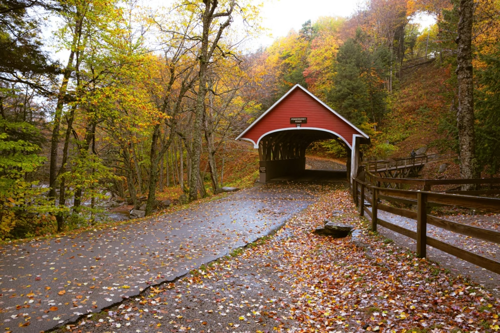
The landscape provides the final reason. In summer, the roads sit beneath a deep green canopy. By late September and early October, that forest turns red, orange and yellow, creating one of the most visually distinctive cycling settings in North America.
The White Mountains sit naturally beside the Vermont Green Mountains as a New England cycling destination, but the riding feels steeper, more enclosed and more obviously mountainous.
The Kancamagus Highway is the essential ride
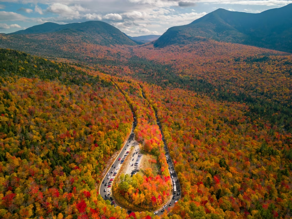
The Kancamagus Scenic Byway, normally shortened to the Kanc, runs for approximately 34 miles between Lincoln and Conway along New Hampshire Route 112.
It is the road most closely associated with cycling in the White Mountains. The route passes through the White Mountain National Forest without towns or major commercial development, following the Swift River before climbing towards Kancamagus Pass and descending towards Lincoln.
The landscape changes gradually. Near Conway, the road runs beside rivers, forest clearings and rocky swimming areas. Further west, the gradient becomes more consistent and the valley narrows. Near the pass, the forest briefly opens to reveal wider views across the surrounding mountains.
The Kanc is a major scenic road rather than a hidden cycling lane. Expect cars, touring motorcycles, motorhomes and visitors slowing for viewpoints, particularly during weekends and the autumn foliage season.
Riding the Kanc from Conway
The eastern approach is the more concentrated climb.
The first part of the road rises gradually from Conway and Albany, passing Rocky Gorge, Lower Falls and several recreation areas. The more serious climbing comes later, with several miles around 5% to 8% before the pass.
This direction can feel deceptive. The gentle opening encourages a fast pace, but the final ascent requires a sustained effort. Riders who arrive carrying too little food or water may discover the difficulty only when the road begins to steepen.
The western descent towards Lincoln is long and fast. Corners are generally more open than on some of the region’s minor roads, but traffic and changing surfaces mean it should not be treated like a closed mountain pass.
Riding from Lincoln
The Lincoln side is longer and more gradual.
The road begins climbing soon after leaving the town, but the gradient is broken by flatter sections and small descents. It is an endurance climb rather than one continuous wall.
The final miles towards the pass become more defined, yet the overall challenge comes from the length of the effort. A headwind, heat or poor pacing can make the approach considerably harder than its average gradient suggests.
Riding east then produces a quick descent towards Conway, with several scenic areas and river crossings on the lower half.
Should you ride the Kanc as an out-and-back?
An out-and-back between Lincoln and Conway creates a ride of close to 70 miles and includes the pass in both directions.
That is a substantial day. The return journey is not a simple reversal because the two climbs have different characters, while the absence of convenient services across the central section increases the importance of carrying enough supplies.
A shorter alternative is to start from one side, climb to the pass and return. This gives riders the main experience without committing to the full crossing.
Whichever version is chosen, an early start is valuable. Traffic normally increases as the day develops, particularly near viewpoints and during peak foliage.
Bear Notch Road is the quieter companion to the Kanc
Bear Notch Road links the Bartlett area with the eastern section of the Kancamagus Highway.
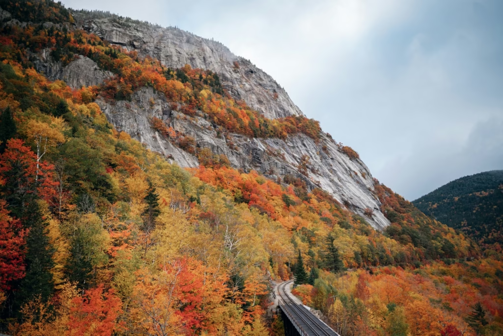
It lacks the reputation of the Kanc, but many road cyclists may prefer it. The road is narrower, quieter and more enclosed, climbing through forest with limited development and few distractions.
From the northern side, the recognised climb is around 4.5 miles at an average of approximately 4.5%, gaining a little over 1,000 feet. The gradient is manageable, but the road’s irregular rhythm makes it more interesting than the average suggests.
The descent is technical enough to demand concentration. Corners arrive quickly, tree cover can leave sections of the road damp, and debris may collect near the edges.
Bear Notch is also seasonal. It is not maintained as a conventional year-round route, so cyclists should check the official White Mountain National Forest road-status page before building a ride around it.
The Bear Notch and Kancamagus loop
One of the best medium-distance rides in the eastern White Mountains combines Bear Notch Road with part of the Kanc.
Starting around Bartlett or North Conway, riders can climb Bear Notch, turn onto Route 112 and return through Albany and Conway. Depending on the exact starting point, the result is generally around 35 to 45 miles.
It provides a useful introduction to the region. Bear Notch supplies the quieter climbing, while the Kanc adds broader views and a faster return.
The loop is still demanding. There are few genuinely flat sections, and riders should not assume that its moderate distance makes it an easy recovery ride.
Crawford Notch delivers the biggest sense of scale
Crawford Notch is one of the most dramatic road corridors in the White Mountains.
US Route 302 passes between steep mountain walls, following the Saco River and the route of the historic railway. The road feels unusually exposed by New England standards because the forest occasionally gives way to sheer rock, waterfalls and long views through the notch.
From the eastern side, the approach begins around Bartlett and gradually climbs through the valley. The final rise towards the height of land is more defined, particularly around the Willey House area, but Crawford Notch is not one unbroken ascent. Its difficulty comes from distance, wind and the pace carried through the lower valley.
The western side around Bretton Woods and Twin Mountain is more open. Views towards the Presidential Range and Mount Washington give this section a different character from the enclosed Kanc.
Route 302 is an important transport road, so traffic can be faster and heavier than on Bear Notch. Shoulders vary, and cyclists need to remain visible. Starting early makes a significant difference.
The sense of riding between wooded valleys and larger mountain walls gives Crawford Notch some similarities with the roads in the Hudson Valley and Catskills, although the White Mountains offer a more concentrated climbing experience.
Base Station Road and Mount Clinton Road
The area around Crawford Notch also allows shorter routes using Base Station Road and Mount Clinton Road.
These roads climb towards the Mount Washington Cog Railway and pass through quieter forest beneath the western slopes of Mount Washington. A loop can be built into a shorter day or added to a longer ride through Crawford Notch.
Mount Clinton Road is seasonal and is not maintained for winter travel. Its opening should be confirmed before departure rather than assumed from conditions on the main roads.
Pinkham Notch puts Mount Washington above the road
Pinkham Notch sits on the eastern side of Mount Washington, using Route 16 between Jackson and Gorham.
The road does not contain the steepness of Hurricane Mountain Road or the sustained climbing of the Kanc. Its appeal comes from setting and continuity. Riders climb beneath the Presidential Range, with Mount Washington rising above the forest whenever the landscape opens.
The ascent from the south is generally sustained rather than brutal. It rewards rhythm and pacing, particularly when added to a longer loop through Crawford Notch or Evans Notch.
Route 16 can be busy. It carries visitors, commercial vehicles and traffic between North Conway and northern New Hampshire. Some sections provide useful shoulder space, while others feel less comfortable.
This is a road best ridden early, particularly during weekends and the main summer season.
Hurricane Mountain Road is the severe test
Hurricane Mountain Road is short, narrow and genuinely steep.
The eastern ascent covers approximately 2.3 miles while gaining close to 1,200 feet. Its average gradient sits around 10%, with extended sections above that figure and ramps approaching the high teens. The western approach is similarly severe.
Those numbers place it in a different category from most White Mountains climbs. This is not a long pass where riders can settle at threshold and wait for the summit. The road demands low gearing, controlled breathing and the ability to keep the bicycle moving through repeated steep sections.
The absence of lane markings and shoulders adds to the character. Traffic is often limited, but the road remains open to vehicles and its bends restrict visibility.
Descending requires restraint. The gradient builds speed rapidly, corners can tighten unexpectedly and the forest limits the view ahead.
Hurricane Mountain Road also closes seasonally. It should be treated as a specific objective rather than casually added to a route without checking its status.
Kinsman Notch offers a less celebrated western route
Route 112 continues west from Lincoln and North Woodstock towards Kinsman Notch.
This side of the White Mountains receives less attention than the Kanc, yet it provides excellent road riding. The climb is less visually dramatic, but it includes several steeper pitches and generally carries less tourist traffic.
The road passes Lost River Gorge before crossing the notch and descending towards North Haverhill and the Connecticut River valley. Forest remains the dominant feature, creating the familiar White Mountains sense of isolation.
Kinsman Notch works well as part of a longer ride from Lincoln or North Woodstock. It can also be combined with quieter roads around Easton, Sugar Hill and Franconia.
The climb’s average gradient does not fully reflect its difficulty. Short ramps rise much more sharply, and the return journey can add significant fatigue if the ride has already included other climbing.
Franconia Notch provides the accessible option
Franconia Notch has a separated recreational path running through the state park, parallel to the parkway.
The full out-and-back is approximately 20 miles and connects attractions including Echo Lake, Profile Lake, the Basin and the Cannon Mountain area.
This is not a flat rail trail. The path climbs, descends and turns sharply, with several short steep sections and blind bends.
It is also shared with walkers and less experienced cyclists. Fast road riders should control their speed and avoid treating it as a training circuit.
For families, touring riders or anyone seeking a lower-traffic introduction to the White Mountains, it is one of the best options in the region. The scenery is immediate, the route is separated from high-speed traffic and there are several places to stop.
More experienced riders can use the path as part of a longer day around Franconia and Lincoln, but its shared nature should shape the pace.
Mount Washington is cycling’s forbidden giant
Mount Washington rises to 6,288 feet and dominates the Presidential Range.
Its Auto Road is one of the most notorious cycling climbs in North America. The ascent is approximately 7.6 miles long, averages close to 12% and reaches around 22% on its steepest pitches.
That combination would make it exceptional anywhere. The mountain’s weather adds another dimension, with temperature, wind and visibility capable of changing dramatically between the base and summit.
Cyclists cannot simply arrive and ride the Auto Road during normal operating hours. Bicycle access is generally limited to sanctioned events, most notably the Mount Washington Auto Road Bicycle Hillclimb.
The restriction is important. Mount Washington may appear to be the obvious centrepiece of a White Mountains cycling holiday, but it is only a realistic riding objective for cyclists registered for one of the approved events.
For everyone else, the mountain remains a backdrop. Pinkham Notch, Crawford Notch and the roads around Great Glen provide the experience of riding beneath it without attempting the Auto Road itself.
For riders searching for a major American climb that can be ridden more freely, Mount Lemmon from Tucson offers a very different test, with a longer, steadier ascent and a transition through several climate zones.
Gravel riding opens another version of the mountains
A gravel bike considerably expands the White Mountains route network.
Seasonal forest roads cross quieter parts of the national forest, linking valleys that road cyclists must otherwise reach through busier highways. Surfaces range from smooth hard-packed gravel to rougher, washed-out and loose sections.
Jefferson Notch Road
Jefferson Notch Road crosses between the Presidential Range and Cherry Mountain.
It is remote, seasonal and unpaved. The route provides a direct sense of the forest’s scale, but riders must be prepared for variable surfaces, limited mobile coverage and no services.
Tripoli Road
Tripoli Road links Waterville Valley with the area west of Interstate 93.
It is a useful gravel connector and can form part of larger mixed-surface loops around the southern White Mountains. Like many forest roads, it closes seasonally.
Cherry Mountain Road
Cherry Mountain Road offers another quieter passage on the western side of the Presidential Range.
It can be combined with the Presidential Rail Trail and surrounding back roads to create bikepacking routes rather than conventional road loops.
A gravel route should not be planned solely from distance and elevation. Road openings, storm damage and current surface conditions matter. Forest roads can remain closed long after the main paved routes are clear.
The White Mountains atmosphere is unlike European cycling
The most important difference is the absence of a dense village network.
In the Alps, a rider may pass through several settlements during one climb. In the White Mountains, it is possible to ride for a long period without finding a shop, café or public water source.
That isolation changes how the day feels. Food stops need to be planned rather than assumed. Two bottles may not be enough in warm conditions, and a mechanical problem can leave a rider a significant distance from assistance.
The architecture and culture are also distinct. The riding bases are small New England towns with wooden houses, motels, diners, breweries and general stores rather than European resort villages.
After a ride, the routine might involve pancakes, maple syrup, a sandwich from a country store or a local beer rather than an espresso in a village square.
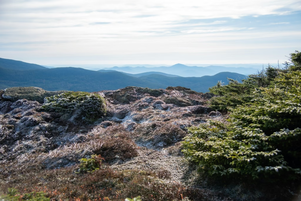
The forest creates its own atmosphere. Most climbs reveal their views gradually, through small clearings and roadside overlooks. The mountains feel hidden until the road suddenly opens beneath a cliff or across a wide valley.
That sense of discovery remains even on the region’s most famous roads.
The wider USA and Canada cycling guide shows how this New England style contrasts with the exposed deserts, western mountain roads and huge Canadian landscapes found elsewhere in North America.
Autumn is beautiful, but not necessarily peaceful
The White Mountains are famous for their autumn colour.
Peak foliage normally arrives between the end of September and the second week of October, although timing varies according to elevation and seasonal weather. The western Kancamagus Highway, Lincoln and Franconia Notch often reach their strongest colour during the first half of October.
For cyclists, this creates an obvious attraction. The forests become more vivid, temperatures are cooler and humid summer conditions begin to ease.
The trade-off is traffic.
Foliage season is one of the busiest periods of the year. Cars move slowly, visitors stop suddenly near viewpoints and accommodation fills quickly. Scenic routes such as the Kanc and Crawford Notch can be busier than they are during midsummer.
A weekday ride shortly after sunrise offers the best compromise. Weekend afternoons during peak foliage are the least appealing time to be on the major byways.
Cold also becomes a factor. A comfortable temperature in Lincoln or North Conway can become much cooler at the top of a pass, particularly once wind and a long descent are added.
The best time to cycle in the White Mountains
Late May and June
Late spring brings long daylight and increasingly accessible mountain roads.
Seasonal closures remain the main risk. Bear Notch, Jefferson Notch, Tripoli Road and other connections reopen at different times, while winter damage may require further repairs.
June is green, quieter than peak summer and generally suitable for long rides. Insects can be noticeable around standing water and forested stops.
July and August
Summer provides the most reliable access.
Roads are generally open, daylight remains generous and towns operate at full visitor capacity. Conditions can become hot and humid in the valleys, while afternoon thunderstorms remain possible.
Traffic is heavier on the main scenic routes, particularly at weekends. Early riding remains the best strategy.
September
September may offer the strongest overall balance.
The first half of the month normally provides warm days with fewer peak-season visitors. Later in the month, autumn colour begins appearing at higher elevations and mornings become colder.
This is an excellent period for experienced riders prepared to carry extra clothing.
Early October
Early October delivers the most dramatic scenery but also the largest crowds.
Conditions can range from clear and cool to wet, windy and close to freezing on exposed roads. Daylight is shorter and long descents require more clothing.
The riding can be exceptional when weather and traffic align, but flexibility is essential.
Weather changes quickly
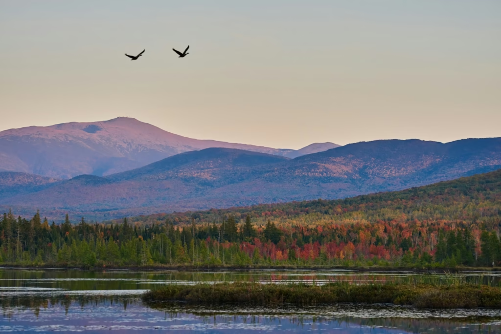
The White Mountains have a serious mountain climate despite their relatively low altitude.
Conditions around Mount Washington are famously extreme, but riders do not need to reach the summit to experience sudden changes. A warm start in the valley can become cold rain near a pass, particularly when the wind rises.
Tree cover can also hide the weather. A rider may not see a developing storm until reaching an exposed section.
A lightweight waterproof layer should be carried on any substantial mountain ride, even when the lower-valley forecast appears stable. Arm warmers or another insulating layer are useful for long descents.
Weather should be checked for the highest point of the route rather than only for the starting town.
Traffic requires realistic planning
The White Mountains are not a uniformly quiet cycling destination.
Bear Notch, Hurricane Mountain Road and some western back roads can feel peaceful. Routes 16 and 302, the Kanc and roads near North Conway can be busy.
Shoulders are inconsistent. Some major roads provide useful space, while quieter mountain connections may have no shoulder at all.
Visibility matters more than trying to avoid every main road. Daytime lights, bright clothing and a predictable road position are sensible throughout the region.
Riders should also consider the time of day. Tourist traffic tends to increase after breakfast and remain heavy through the afternoon. Starting early improves road conditions, temperatures and the chance of completing the climbs before storms develop.
Wildlife is part of the landscape
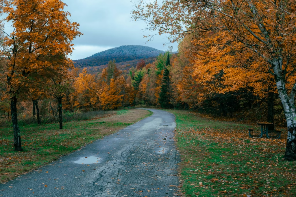
Moose, deer, black bears and smaller animals live throughout the White Mountains.
Moose are particularly associated with the Kancamagus Highway and Pinkham Notch, especially around wet areas. They are often more active around dawn and dusk, although sightings can happen at any time.
Cyclists should give wildlife space and avoid approaching for photographs. A moose can move unpredictably and is much larger at close range than it appears from a vehicle.
The more immediate cycling risk is an animal entering the road during a descent. Forested bends leave little reaction time, providing another reason not to ride beyond the visible stopping distance.
Food should not be left unattended at remote stops, particularly near campgrounds and forest facilities.
What bike should you take?
A conventional road bike is suitable for the Kanc, Crawford Notch, Pinkham Notch, Kinsman Notch and Bear Notch Road.
Tyres between 28mm and 32mm provide a useful balance. The major paved roads are generally suitable for narrower tyres, but frost damage, cracks, debris and rough shoulders make additional volume worthwhile.
Low gearing is more important than an aerodynamic set-up. A compact chainset with a 32-tooth sprocket should suit most road routes, while Hurricane Mountain Road may justify still lower gearing.
Disc brakes provide useful control on wet or technical descents, although well-maintained rim brakes remain workable.
A gravel bike is the most versatile choice for riders interested in Jefferson Notch, Tripoli Road and the regional rail trails. Tyres around 38mm to 45mm create more freedom when forest-road surfaces deteriorate.
Water and food need to be carried
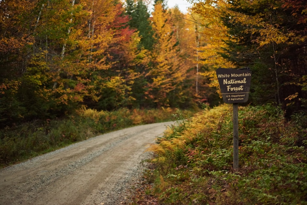
The White Mountains are not built around regular cyclist stops.
Towns such as Lincoln, North Conway, Bartlett, Gorham and Littleton provide shops, cafés and restaurants. Between them, services can be limited or absent.
Scenic recreation areas should not be assumed to provide drinking water. A long ride should begin with enough food and fluid to reach the next confirmed stop rather than a hoped-for shop.
Two bottles are a minimum in warm weather, and riders crossing the full Kanc may prefer additional capacity.
Mobile reception is inconsistent. Downloaded maps, basic tools, spare tubes and a pump are more valuable here than on a route passing through regular settlements.
This self-supported character is one of the main differences between the White Mountains and more developed destinations such as the Icefields Parkway between Banff and Jasper, where the distances are greater but the trip is often planned more explicitly as a supported journey.
The best places to stay
Lincoln and North Woodstock
Lincoln is the best base for the western Kancamagus Highway, Kinsman Notch and Franconia Notch.
There is a broad range of accommodation, food and visitor services. The town is busy and commercial by White Mountains standards, but its location makes it extremely practical.
North Conway and Bartlett
North Conway provides access to the eastern Kanc, Bear Notch, Hurricane Mountain Road and routes towards Pinkham and Crawford notches.
It has the greatest selection of restaurants, shops and bicycle support in the eastern part of the region. Traffic around the town can be heavy, so Bartlett offers a quieter alternative further up the valley.
Gorham
Gorham works well for Pinkham Notch, Great Glen, Mount Washington and the northern Presidential Range.
It is less convenient for the Kanc but better for riders focusing on the northeastern White Mountains or mixed-surface routes.
Twin Mountain and Bretton Woods
These are strong bases for Crawford Notch, Base Station Road, Mount Clinton Road and western views of Mount Washington.
The area is quieter than North Conway and provides good access to several longer loops.
Franconia and Littleton
Franconia offers immediate access to the state park and quieter roads around Sugar Hill.
Littleton provides more shops and restaurants while remaining close enough for rides into the western White Mountains.
A five-day White Mountains cycling plan
Day one: Franconia Notch
Begin with the recreational path through Franconia Notch.
It provides an introduction to the landscape without the traffic or commitment of the major road routes. Extend the ride around Franconia or Sugar Hill if more distance is required.
Day two: Bear Notch and the eastern Kanc
Ride a loop from Bartlett or North Conway using Bear Notch Road and Route 112.
This provides a proper mountain day without the distance of the full Kancamagus crossing.
Day three: Crawford Notch
Follow Route 302 through Crawford Notch, adding Base Station Road if conditions and energy allow.
Expect a longer, steadier day with more traffic but some of the region’s most dramatic scenery.
Day four: recovery or gravel
Use a rail trail, the Great Glen network or a shorter mixed-surface route.
A rest or recovery day is worthwhile before the biggest ride, particularly if the first three days have included repeated climbing.
Day five: the Kancamagus Highway
Finish with the full Kanc crossing or an out-and-back to the pass.
Start early, carry sufficient food and treat the return climb as a separate effort rather than assuming the hard work is complete at the first summit.
Who will enjoy cycling in the White Mountains?
The region suits riders who enjoy self-supported mountain days more than polished cycling tourism.
It is particularly good for cyclists who value forest roads, technical descents and the feeling of travelling between distinct valleys. The climbs are difficult without requiring extreme altitude, while the road network provides enough variety for several days.
It is less suitable for riders expecting wide cycle lanes, frequent cafés or quiet roads at every hour. Some of the most scenic routes are also major tourist corridors.
Beginners still have options, particularly the Franconia Notch path and the trail centres around Great Glen. Experienced riders can find genuinely severe terrain on Hurricane Mountain Road and through the sanctioned Mount Washington hill climb.
Gravel riders may have the most freedom of all, provided they monitor seasonal access and carry suitable equipment.
For more ideas across North America and beyond, the ProCyclingUK cycling travel hub brings together climbing destinations, riding bases and practical trip guides.



Why the White Mountains belong on a cycling list
The White Mountains are not an American imitation of the Alps.
Their roads are lower, more enclosed and less connected to professional cycling history. The climbs do not arrive with famous race footage or names painted across the tarmac.
What they offer is a stronger sense of place.
The Kanc runs through miles of undeveloped forest. Crawford Notch places the rider between steep walls of rock and trees. Bear Notch feels hidden from the wider road network. Hurricane Mountain Road supplies gradients severe enough to humble almost anyone.
Then there is the light through the forest, the sound of rivers beside the road and the sudden opening of a view that had been invisible for most of the climb.
Cycling here requires more planning than distance alone suggests. It also provides more solitude than the popularity of the region might imply, particularly when routes and start times are chosen carefully.
The White Mountains are challenging without being monumental, scenic without feeling manicured and remote without requiring an expedition.
That combination makes them one of the most distinctive road-cycling destinations in the northeastern United States.
Frequently asked questions
Is the Kancamagus Highway good for cycling?
Yes. The Kanc is the White Mountains’ signature road ride, combining sustained climbing, long descents and extensive forest scenery. Traffic can be heavy, particularly during weekends and autumn foliage season, so an early start is recommended.
How difficult is cycling in the White Mountains?
Most routes are hilly, and several contain substantial climbing. The region’s difficulty comes from irregular gradients, repeated ascents, limited services and changeable weather rather than extreme altitude.
Can cyclists ride up Mount Washington?
Not during normal Auto Road operations. Bicycle access is generally limited to sanctioned events such as the Mount Washington Auto Road Bicycle Hillclimb.
What is the hardest paved climb in the White Mountains?
Mount Washington is the most severe, but access is restricted. Among normally accessible roads, Hurricane Mountain Road is one of the hardest because it averages around 10% and contains much steeper ramps.
When is the best time to cycle there?
June and September provide the best balance of road access, daylight, temperature and traffic. Early October offers exceptional autumn colour but colder weather and much heavier visitor traffic.
Is there traffic-free cycling?
The Franconia Notch recreational path provides approximately 20 miles for a full out-and-back. Trail centres and rail trails offer further lower-traffic options.
Is a road bike suitable?
Yes, for the Kanc, Crawford Notch, Pinkham Notch and other paved routes. Tyres between 28mm and 32mm are sensible. A gravel bike is preferable for seasonal forest roads.
Where should road cyclists stay?
Lincoln is the most practical base for the western Kanc and Franconia Notch. North Conway or Bartlett works better for Bear Notch, Hurricane Mountain Road and the eastern Kanc.
Are the White Mountains suitable for a cycling holiday from the UK?
Yes, although a hire car or private transfer is normally required. Boston is the main international gateway, with the White Mountains reached by road. Riders should confirm airline bicycle policies and vehicle capacity before travelling.
Do seasonal roads close?
Yes. Bear Notch Road, Jefferson Notch Road, Tripoli Road and several other mountain or forest roads close during winter and reopen at different points in spring. Always check current official road status before riding.

