
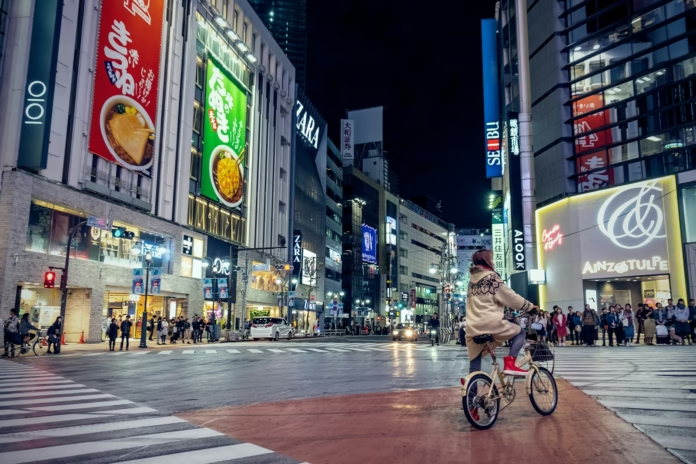
Tokyo looks an unlikely base for a road-cycling trip when viewed from the centre of the city. The scale, density and railway network dominate first impressions, while the mountains feel distant from Shinjuku or Tokyo Station. On a map, however, the picture changes quickly. The Tama River gives riders a relatively straightforward line towards western Tokyo, and beyond Ome the urban landscape begins to give way to Okutama, steep wooded valleys and the roads of the Chichibu-Tama-Kai National Park.
That creates two distinct types of riding from one base. Central Tokyo works for shorter exploratory rides, river paths and low-speed urban cycling. The west is where road riders can find sustained climbing, quieter roads and routes around Lake Okutama, with Chichibu extending the possibilities farther into Saitama. A successful trip depends on treating those environments differently rather than trying to ride through the capital as though it were a European mountain town.
Understanding Tokyo as a cycling base
Tokyo’s advantage is connectivity. Railways make it possible to stay centrally for the rest of a holiday while starting serious rides much farther west, provided the bike is packed appropriately for train travel. Riders who want mountains every day will usually find it simpler to stay in western Tokyo, around Ome or nearer Okutama, for at least part of the trip. That reduces the amount of urban riding before the road starts climbing.
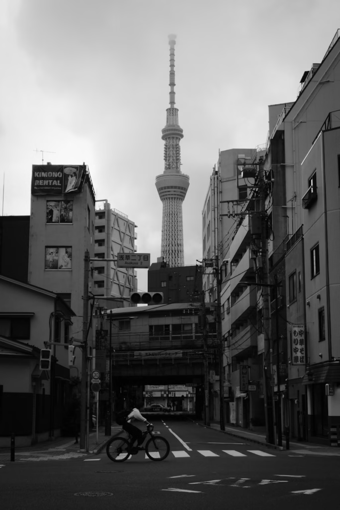
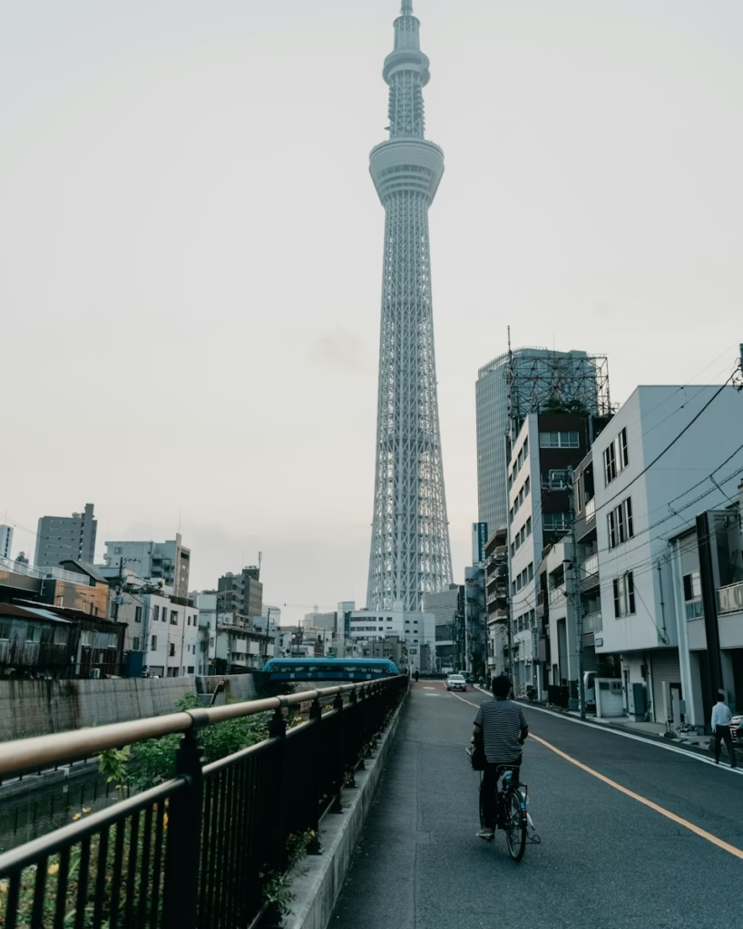
The city itself still rewards riding. The official Tokyo tourism guidance lists several cycle-share networks, while local operators run routes through the bay area, older neighbourhoods, riverside sections and Tokyo’s short urban hills. These are better considered sightseeing rides than training routes. Traffic lights are frequent, junctions can be complex and the volume of pedestrians means average speed is largely irrelevant.
For riders bringing a road bike, the Tama River corridor is the obvious geographical reference. It runs westwards away from the dense centre and can be used to connect towards the Tama and Ome areas. Dedicated riverside sections are useful, but they are shared spaces rather than closed training roads. Expect walkers, runners and utility cyclists, slow down where sight lines are poor and avoid treating the path as somewhere to hold a fast group-ride pace.
Okutama is where the mountains begin
Okutama changes the character of a Tokyo cycling trip. The town sits in the mountainous western edge of the metropolis and is reached by the JR Ome Line. From here the terrain belongs to the Chichibu-Tama-Kai National Park, with narrow valleys, forested slopes and Lake Okutama providing the main landmarks. It feels far removed from central Tokyo despite remaining administratively within the same metropolis.
Lake Okutama was formed by the Ogouchi Dam on the Tama River. The reservoir is surrounded by mountains and works well as a focal point for a day on the bike, although riders should distinguish public roads from walking routes around the water. The official tourism material, for example, describes the 12km Lake Okutama Ikoi Road as a walking route and notes that it can close in winter, bad weather or during works. A road-cycling route should therefore be planned around roads confirmed as open to vehicles and bicycles rather than assuming every lakeside line on a map is rideable.
The older Okutama Mukashi road adds historical texture to the area. Japan’s national-parks service promotes guided cycling around Lake Okutama and the Mukashi route, describing an old trade road dating from the Edo period. Local rental operator Trekkling is based in Okutama and is specifically referenced by Tokyo’s tourism authority for road bikes, mountain bikes and e-bikes. That makes the area unusually workable for a visitor who does not want to transport a bike across Japan.
Climbing towards Hinohara and the high roads
Road riders looking for a harder day can use Okutama and neighbouring Hinohara as gateways into the higher terrain. The roads repeatedly rise and fall along the valleys before the longer climbs begin, so distance alone is a poor guide to difficulty. A route that looks modest beside a European gran fondo can accumulate substantial elevation, particularly when several passes or dead-end climbs are linked together.
Weather is also more changeable than in central Tokyo. Temperatures fall with altitude, shaded forest roads stay damp after rain and winter conditions can close mountain roads. Carrying a light layer even when Tokyo is warm is sensible outside midsummer. In autumn, the combination of cooler temperatures and changing leaves makes the west especially attractive, but popular scenic areas can also become busy at weekends.
Food and water need more planning once the route moves away from the larger towns. Japan’s convenience-store network makes fuelling easy on the approaches, but it is unwise to assume there will be a shop at the top of a remote climb. Start longer loops with bottles filled and enough food to cover the mountainous section. Vending machines are common in Japan, though their presence should be treated as a bonus rather than a route plan.
Extending the trip into Chichibu
Chichibu lies beyond Tokyo in Saitama Prefecture and shares the broader mountain system that gives the national park its name. For a rider, it is best thought of as an extension to the western-Tokyo riding rather than another part of the city. The valleys, passes and smaller settlements allow longer point-to-point days, but the practical question becomes how to return rather than simply how far to ride.
Rail access makes one-way itineraries possible if the bike is packed in accordance with the operator’s rules. That can be more rewarding than forcing every mountain day into an out-and-back from central Tokyo. A trip might combine an urban day, a Tama River ride, two or three days based around Ome and Okutama, and a final excursion towards Chichibu. Riders wanting a broader comparison with destinations outside Europe can also use ProCyclingUK’s Cycling in Rest of the World hub.
Traffic rules and riding etiquette
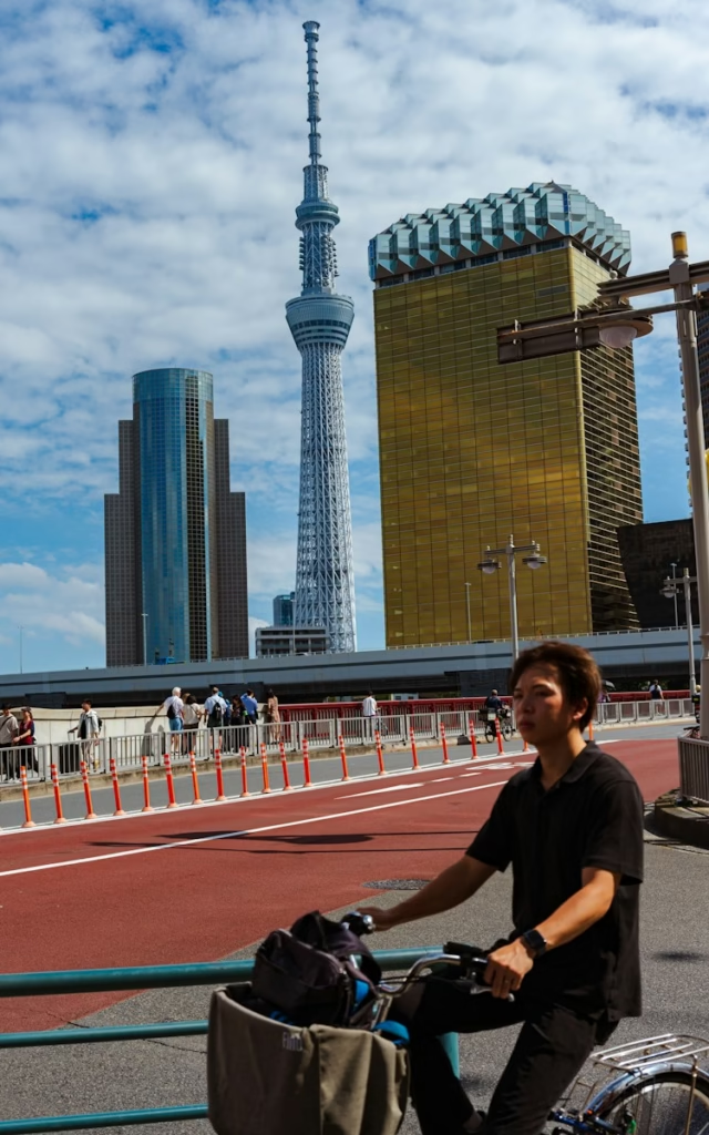
Japan drives on the left, which immediately makes road positioning more familiar for British visitors. Tokyo’s official cycling guidance says riders should generally use the road where road and pavement are separated, keep left and travel in the same direction as motor traffic. Pavement cycling is permitted only in specified circumstances. The same guidance asks cyclists to make an effort to wear a helmet and stresses the use of designated bicycle parking.
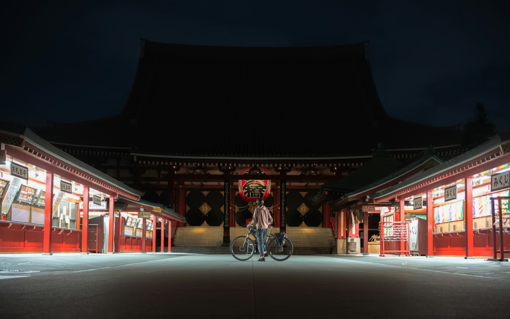
That last point matters in central Tokyo. Leaving a bike casually against street furniture is not the normal approach and improperly parked bicycles can be removed. Hotels should be asked in advance where a full-size road bike can be stored, especially if it is being kept assembled. A compact city hotel may have less flexibility than accommodation in a cycling destination.
Mountain roads require a different sort of attention. Tunnels are common in Japan, so working front and rear lights are worth carrying even for a daytime ride. The road surface is generally dependable, but narrow shoulders, blind bends and traffic through the valleys mean descending within the visible stopping distance is important. Wildlife is another reason not to assume an empty forest road is risk-free.
When to ride in Tokyo and Chichibu
Spring and autumn are the easiest seasons to recommend for a cycling-focused visit. The national-parks service lists spring, summer and autumn for its Okutama cycling activity, while Tokyo tourism highlights spring blossom and autumn foliage around the lake. These periods avoid the coldest mountain conditions and, depending on timing, much of the oppressive heat and humidity of midsummer.
Summer riding is possible but requires an early start, conservative pacing and serious attention to hydration. Tokyo’s heat and humidity can turn an ordinary endurance ride into something much harder, while thunderstorms and heavy rain can alter mountain conditions quickly. The rainy season in early summer and the possibility of typhoons later in the warm season mean forecasts should be checked close to the ride rather than relying on a fixed itinerary.
Winter is a different proposition. Central Tokyo can still offer rideable days, but snow, ice and seasonal closures make high mountain loops less dependable. A winter visitor should build the trip around lower roads and regard any higher route as conditional on current local information.
Planning a practical cycling week
A first day in central Tokyo is useful for learning the road environment without committing to a long route. A second can follow the Tama corridor west, either returning by bike or using the railway if the bike is properly packed. Moving accommodation towards Ome or Okutama then opens the door to two substantial mountain days without hours of urban riding at either end.
-
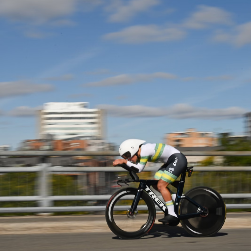
 Photo Credit: AusCycling/Chris Auld

Lake Okutama makes a logical first mountain objective because navigation is comparatively straightforward and services are easier to understand. A harder Hinohara or pass-based day can follow once the terrain is familiar. Chichibu is better saved for later in the trip, when the rider has a clearer sense of Japanese road signage, rail logistics and how quickly distance accumulates in the valleys.
The result is a destination with far greater range than the Tokyo skyline suggests. It is possible to spend the morning threading through one of the world’s largest cities and, on another day, ride beside a mountain reservoir surrounded by forest. The key is not to force those experiences into one type of cycling. Central Tokyo rewards patience and exploration; Okutama and Chichibu are where a road bike can properly stretch its legs.

