
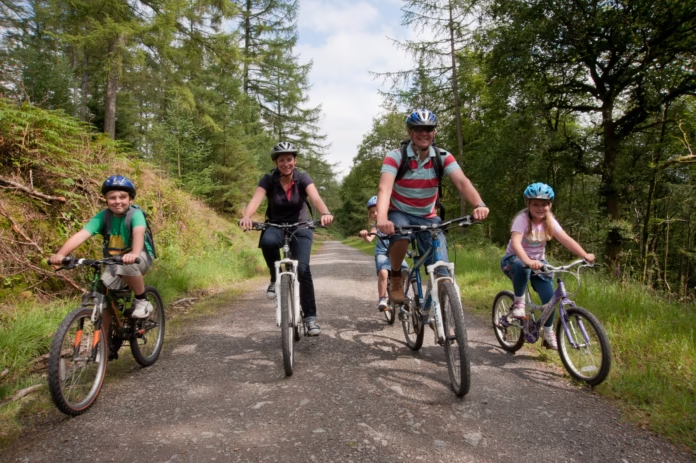
Guisborough sits in a useful position for cycling: forest tracks start almost on the edge of town, National Cycle Network Route 168 links the North York Moors to the coast, and longer gravel and road routes can head directly into the national park.
The original version of this guide understated some of the riding. Guisborough Forest’s official Blue Lake trail is not a gentle 2.5-mile beginner loop: it is a 7.2km blue-grade route intended for riders with basic off-road skills. There is also no current Forestry England red trail at Guisborough Forest, so riders wanting harder mountain-bike terrain should plan a wider route rather than looking for a signed red loop that is not there.
Best cycling routes near Guisborough at a glance
| Route | Distance | Best for | Difficulty |
|---|---|---|---|
| Blue Lake Cycle Trail, Guisborough Forest | 7.2km / 4.5 miles | Introductory off-road riding | Moderate / blue |
| National Cycle Network Route 168 | 20.7km / 12.9 miles | Mixed-surface riding between Kildale, Guisborough and the coast | Moderate with rough and steep sections |
| Guisborough to Saltburn section | Flexible out-and-back | Leisure and mixed-surface riders | Easier if kept to the coastward section |
| Esk, Coast and Iron Gravel Explorer | 60km / 37 miles | Experienced gravel riders | Hard, around 1,000m climbing |
| North York Moors road loops | Flexible | Road cyclists | Moderate to very hard depending on route |
Blue Lake Cycle Trail in Guisborough Forest
The most obvious place to start is Guisborough Forest, where Forestry England’s Blue Lake Cycle Trail gives a signed 7.2km loop from the Guisborough Forest and Walkway Visitor Centre at Pinchinthorpe.
It is graded blue, which means moderate rather than beginner-easy. The route uses forest roads and tracks with steady climbing and some views over the Tees Valley. Riders should be comfortable controlling a bike on loose and uneven surfaces before treating it as a family route.
For a new rider, there is nothing wrong with using only the easier forest roads around the visitor centre before committing to the full loop. Forestry operations can also create diversions, so check current trail information before travelling.
National Cycle Network Route 168
National Cycle Network Route 168 is one of the most useful lines through the area. It runs for 12.9 miles (20.7km) between Kildale and Brotton, passing through Guisborough and linking the Esk Valley with the coast near Saltburn.
About half of the route is traffic-free, with a mixture of asphalt and firm unsealed surfaces. The Kildale side includes rough open moor and forest track with steep gradients, so the full route is more demanding than its distance suggests.
The route becomes especially useful because Kildale and Saltburn both have railway stations. That creates options for point-to-point days rather than forcing every ride to become an out-and-back.
 Photo Credit: Alex Whitehead/SWpix.com
Guisborough to Saltburn for a shorter day
You do not need to ride all of Route 168. Heading north-east from Guisborough towards the coast gives a shorter ride that can be adapted to fitness and surface preference, using the former railway and quieter connections before reaching the Saltburn area.
Saltburn itself is worth the ride for the seafront, pier and cafés, while the steep roads around the town are familiar from the 2024 British National Road Championships. ProCyclingUK covered the Saltburn-based National Championships routes, which showed how quickly the terrain becomes selective once you move away from the flatter coastal sections.
If you want a genuinely relaxed ride, make the coast the destination and avoid turning the return into an unplanned tour of the steepest roads around East Cleveland.
Esk, Coast and Iron Gravel Explorer
Experienced gravel riders now have a much clearer long-distance option from town. The North York Moors National Park’s Esk, Coast and Iron Gravel Explorer starts in Guisborough and covers 60km with around 1,000m of climbing.
The route heads through the historic ironstone landscape, links Guisborough with the Esk Valley and villages including Castleton, Commondale and Danby, reaches the coast at Skinningrove, then returns using former railway sections and Route 168.
It is graded hard and should be treated as a proper day out rather than an extension of the forest loop. A gravel bike or suitable mountain bike, repair kit, food and enough water are sensible essentials.
Road cycling into the North York Moors
Guisborough also works as a base for road riding because several quiet-road options lead quickly towards Great Ayton, Kildale and the North York Moors. The challenge is that “quiet” rarely means “flat”. Short steep ramps and repeated climbing are normal once the route turns south or east.
For a much bigger project, the North York Moors Cycleway is a 171-mile (276km) figure-of-eight road route around the national park. You do not need to complete the whole thing: its individual sections can be used as building blocks for longer days from the Guisborough side of the moors.
Which bike is best around Guisborough?
A gravel bike is probably the most flexible single choice. It is efficient enough for the road between Guisborough and the coast while still coping with Route 168, forest roads and the mixed surfaces of the longer Explorer route.
A mountain bike is better if Guisborough Forest and more technical off-road riding are the priority. A road bike works well for moorland lanes and the coast but will restrict route choice where the National Cycle Network uses firm unsealed track.
Hybrid bikes can handle the easier mixed-surface options if they have suitable tyres. Our hybrid bike guide explains where that type of bike sits between road and mountain-bike use.
When to ride around Guisborough
Late spring through early autumn gives the most reliable combination of daylight and trail conditions, but the area can be ridden year-round. Forest and moorland tracks become considerably slower after prolonged rain, while exposed North York Moors roads can feel much colder and windier than conditions in town suggest.
Check Forestry England for current Guisborough Forest closures and the North York Moors National Park route pages before setting out. Forestry work and poor weather can temporarily change off-road routes.
Where should beginners start?
-
 Photo Credit: Flavia Ossola



A true beginner should not assume the signed Blue Lake trail is a flat family circuit. Start with easier forest-road sections or a short coastward out-and-back on Route 168, then move onto the full blue loop once uneven surfaces and climbing feel comfortable.
For stronger riders, Guisborough becomes much more interesting because several networks overlap: forest trails, National Cycle Network 168, gravel routes into the Esk Valley and road climbs into the North York Moors. That mix is the real reason the town works as a cycling base.

