
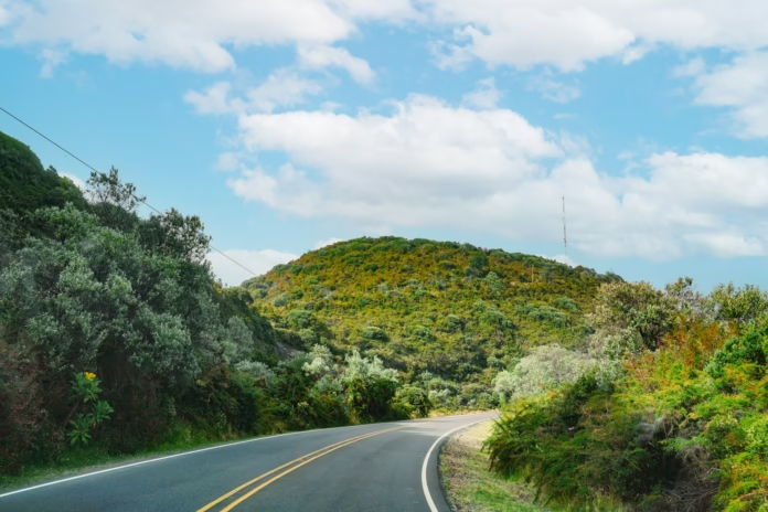
Costa Rica’s Central Valley is an unusual road-cycling base because the biggest rides begin almost as soon as the urban area gives way to the mountains. San José sits in a high basin ringed by the Cordillera Central, with Poás to the north-west and Irazú to the east. For a visiting rider, that means long volcanic climbs, rapidly changing weather and days where altitude matters as much as distance.
The riding is harder than a glance at the map suggests. Roads repeatedly rise and fall across the folds of the mountains, traffic can be demanding close to the main cities, and a summit ride can move from warm valley conditions into cold cloud within a few hours. The reward is a network of paved roads through coffee country, high farmland and volcanic landscapes that feels very different from the familiar European training destinations. Riders planning a wider trip can also browse our cycling guides for destinations outside Europe.
Using the Central Valley as a cycling base
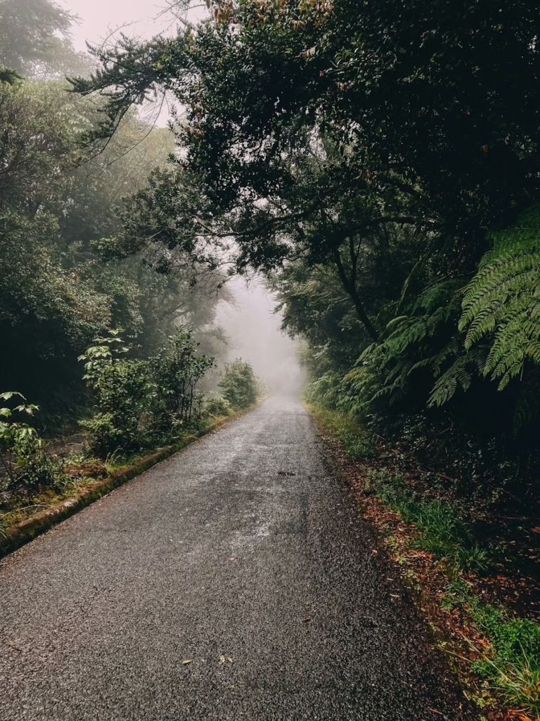
San José is the obvious arrival point, but it is not necessarily the best place to start every ride. The metropolitan area spreads across much of the valley and its major roads carry heavy traffic. Escazú, Santa Ana, Heredia, Alajuela and Cartago can all make more practical bases depending on which side of the mountains you want to explore. A rider concentrating on Poás benefits from being around Alajuela or Heredia, while Cartago is the natural starting point for Irazú and the roads east of the capital.
The Central Valley’s elevation already changes the character of a ride. San José is around 1,100 metres above sea level, so even an ordinary day begins higher than many European mountain bases. The major volcano roads then climb well beyond 2,000 metres. Irazú reaches 3,432 metres, Costa Rica’s highest volcano, and the public road towards its crater sector takes riders into genuinely high-altitude conditions. Poás is lower at 2,708 metres but still produces a substantial ascent from the valley.
For road cyclists, the most useful approach is to treat the volcanoes as separate big days rather than trying to connect everything into one enormous route. Traffic, climbing and weather make kilometres expensive here. A 70km ride containing a sustained volcanic ascent can be a much bigger day than a flat 120km loop elsewhere.
Climbing Poás from Alajuela and the western valley
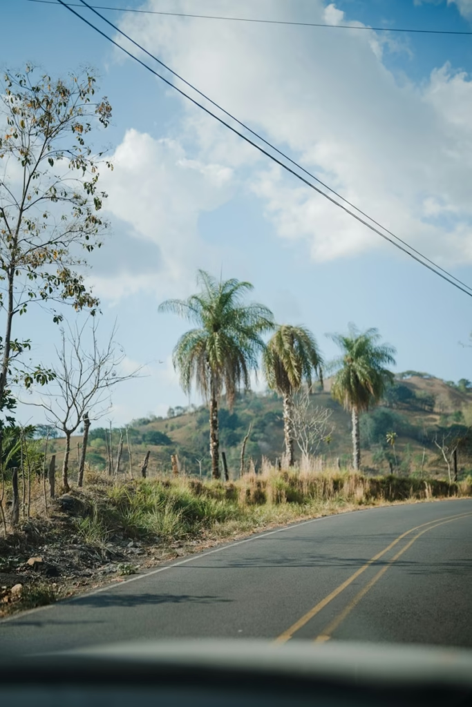
Poás is the most obvious target on the western side of the Central Valley. The official access from Alajuela runs towards Poasito via Route 712, passing through Itiquís and Fraijanes before continuing towards the national park. There are also approaches through the Poás district and from the Heredia side via Barva and Varablanca, allowing riders to vary the lower part of the climb rather than simply retracing one road.
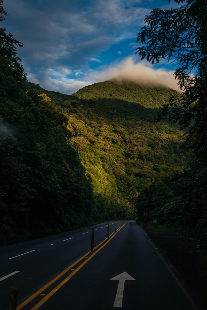
The attraction is the sustained change in landscape. Lower slopes pass through populated areas and agricultural land before the road reaches cooler, greener country around Fraijanes and Poasito. Coffee is a major part of the lower-altitude landscape, while strawberries and other crops become more prominent higher up. The gradients are generally more about accumulation than a succession of savage ramps, but the climb is long enough that pacing matters.
Poás Volcano National Park itself should be treated separately from the cycling route. The park operates controlled visitor access and volcanic conditions can affect arrangements. Its official visitor information lists opening hours of 08:00 to 15:30 and directs visitors to make reservations. Check current park and road information before travelling rather than assuming that riding to the upper road guarantees access to the crater area.
A good road ride does not depend on entering the park. Poasito and the upper approach already provide the bulk of the climbing, altitude and volcanic setting. Riders can descend towards Alajuela or build a longer loop towards Varablanca and Heredia, although that turns an already substantial ascent into a more complicated mountain day. The latter option needs careful route planning because road character and traffic levels vary considerably.
Irazú: the Central Valley’s high-altitude road climb
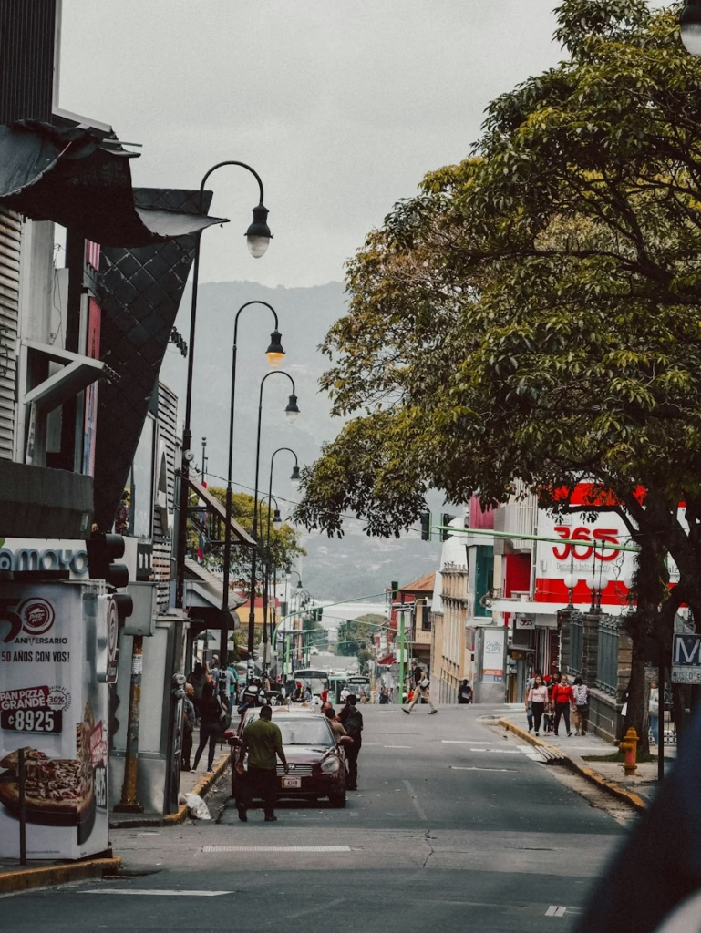
Irazú is the headline road climb for riders who want the biggest altitude gain. The established approach leaves Cartago and heads north through Cot, Tierra Blanca, Potrero Cerrado and San Juan de Chicuá towards the volcano. Official tourism information puts the crater sector 33km north of Cartago on Route 219, which gives a useful sense of the scale before any extra distance needed to reach Cartago or return to accommodation.
The climb becomes steadily more exposed as it rises through agricultural country. Cartago sits at roughly 1,400 metres, leaving around 2,000 metres of vertical difference between the city and Irazú’s summit elevation. The road does not finish at precisely the geological summit, but riders still reach an altitude where the thinner air is obvious. Anyone arriving directly from sea level should respect that rather than judging the ride solely by gradient.
Temperature is another part of the difficulty. Conditions around San José or Cartago can feel comfortable at the start while the upper volcano is cold, windy or wet. Official park guidance specifically recommends coats and rain protection and warns that weather can change quickly. On a bicycle, the long descent amplifies that problem. A light waterproof or windproof layer, full-finger gloves and enough clothing to descend without becoming chilled are sensible even when the valley forecast looks benign.
The national park’s crater sector is open daily from 08:00 to 15:30 according to current official information, but bicycles are not permitted inside the protected park area. Think of Irazú as a ride to the upper access area rather than a chance to cycle around the crater itself. The paved approach remains the important part for a road cyclist, and any visit beyond the bike should follow the park’s current entry rules.
Routes beyond the two volcanoes
Poás and Irazú dominate the map, but limiting a trip to two summit attempts misses much of the Central Valley’s useful riding. The roads around Orosi south-east of Cartago offer a greener alternative, dropping towards the Orosi Valley before climbing back towards the plateau. Costa Rica’s tourism authority specifically identifies Orosi, Poás and Irazú as established areas for cycling day trips around San José.
North of San José, the folds around Heredia, Barva and the lower volcanic slopes create shorter rides that can be combined without committing to a full summit day. West of the capital, Alajuela gives access to rolling coffee-growing country beneath Poás. These areas are particularly useful if you want an easier first day to understand road conditions and acclimatise before heading above 2,500 metres.
Route choice matters more than simply drawing a loop on a mapping app. A road that looks direct may be a busy arterial route, while a quieter alternative can contain abrupt gradients, broken surfaces or a large amount of extra climbing. Local knowledge is valuable, especially for leaving and returning to the metropolitan area. Where possible, build routes around secondary roads once clear of the city and use the main highways only where they are genuinely necessary.

Traffic, road surfaces and descending safely
Costa Rica has a strong cycling culture, but that does not turn every road into a relaxed cycling environment. The official tourism advice for riders stresses visibility, defensive riding, maintaining distance from vehicles, carrying adequate food and water and checking the bicycle before setting out. Those basics are particularly relevant around the Central Valley because busy traffic and mountain weather can appear on the same ride.
An early start is normally the best option. It helps avoid some of the heavier urban traffic, gives more time before afternoon weather develops and leaves a margin if a mountainous route takes longer than expected. Strong front and rear lights are worth using during the day. Cloud, rain and shade can reduce visibility quickly on the upper slopes, while lower urban sections can involve frequent junctions and traffic movements.
Descents deserve as much thought as climbs. Wet tropical roads can become slippery, mist can cut visibility and debris may collect after rain. A rider accustomed to fast Alpine descending should not assume the same sight lines or surface consistency. Check tyres and brake pads before the trip and ride the first descent conservatively enough to learn the local road conditions.
For similar reasons, this is a destination where a road bike with sensible tyres makes more sense than chasing the lightest possible setup. Wider modern road tyres provide useful margin on variable surfaces without compromising the long paved climbs. If your itinerary deliberately includes unpaved roads, a gravel bike opens many more possibilities, but the main Poás and Irazú approaches can be planned as road rides.
Weather and the best time to ride
Cycling is possible throughout the year, but Costa Rica’s seasonal rainfall pattern changes how straightforward the planning becomes. The drier period, broadly from December into April in the Central Valley, is the easiest window for a road-focused trip. It does not guarantee clear volcano summits, but it reduces the likelihood of repeatedly finishing rides in heavy rain.
The wetter months are still rideable. Costa Rica’s official cycling guidance explicitly notes that the rainy season continues to offer good riding while recommending extra caution. In practical terms, mornings become especially valuable. Starting early gives the best chance of completing the major climbing before cloud and rain build later in the day.
Microclimates complicate any simple dry-versus-wet distinction. The Central Valley, Caribbean-facing slopes and high volcanoes can have different conditions at the same time. Check the forecast for the actual summit area rather than San José alone. A sunny temperature reading in the capital says little about what a rider may encounter above 3,000 metres on Irazú.
Practical planning for a Costa Rica cycling trip
San José’s international connections make the Central Valley relatively simple to reach with a bike, but accommodation location has a major effect on the quality of the riding. If cycling is the priority, staying on the side of the conurbation closest to the planned routes can save a substantial amount of unpleasant urban riding. Splitting a trip between the western valley for Poás and Cartago for Irazú can be more enjoyable than using one hotel for everything.
Carry more fluid than the cool summit temperatures might suggest. Long climbs begin in warmer conditions, and the combination of altitude and sustained effort can make fuelling mistakes expensive. Food and drink are available in many populated areas on the lower and middle slopes, but do not assume a shop will appear exactly when needed on the upper mountain.
A compact climbing gear is useful even for strong riders. The volcano routes are long, and surrounding roads can add short steep sections after hours of climbing. Low gearing gives room to manage effort rather than turning every change in gradient into a threshold effort. The same principle applies if Costa Rica is part of a longer cycling holiday and you want to ride several days consecutively.



Poás and Irazú make the Central Valley a distinctive destination rather than an easy one. The strongest reason to bring a bike is the combination of sustained volcanic climbing, high altitude and the rapid transition from a busy tropical capital to coffee farms and exposed mountain roads. Plan around traffic and weather, respect the national-park restrictions, and the two volcanoes provide very different big days within a relatively compact part of Costa Rica.
For riders comparing mountainous destinations, our guides to cycling in Tenerife and climbing Mount Teide and cycling in Gran Canaria and Pico de las Nieves cover two other high-altitude options with very different road conditions and climates.

