
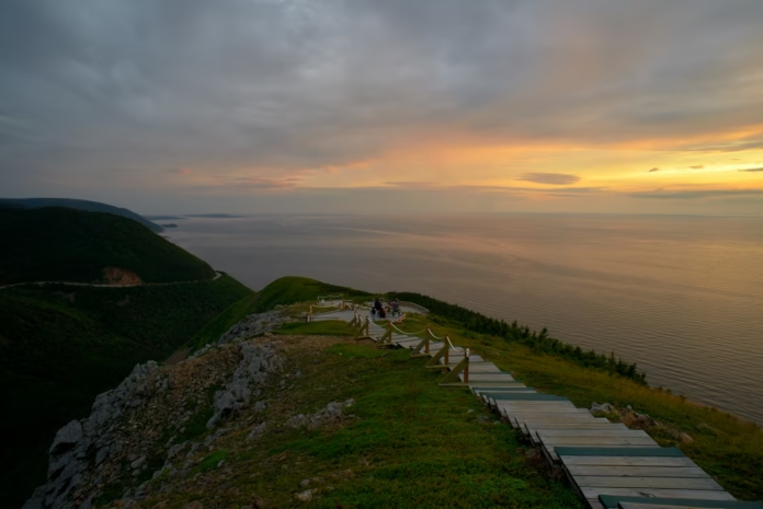
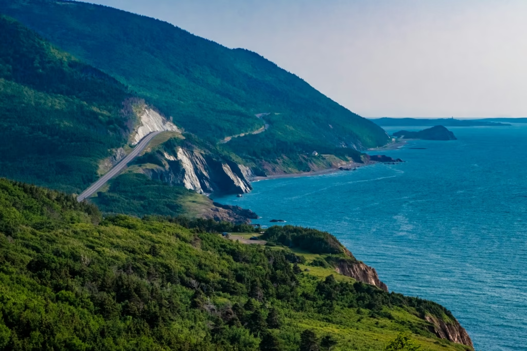
Nova Scotia’s Cabot Trail is one of those roads that looks made for a bike until you study the profile properly. The loop around northern Cape Breton Island combines long coastal sections with four serious mountain crossings, and the steepest ramps reach 12 to 15 per cent. It is beautiful riding, but a full circuit is a substantial endurance day rather than a scenic spin.
The classic loop is roughly 300 km depending on exactly where you start and finish. Most touring cyclists split it over three to five days, using communities such as Chéticamp, Pleasant Bay, Ingonish and Baddeck as overnight bases. Strong riders can complete it faster, but reducing the number of days means less time for the look-offs, beaches and short detours that make Cape Breton worth travelling to in the first place.
The road passes through Cape Breton Highlands National Park for a large part of the northern section. That brings better-defined visitor infrastructure, but it also means riders need to pay attention to park notices, weather and wildlife. The high ground can feel very different from the coast only a few kilometres away.
How hard is cycling the Cabot Trail?
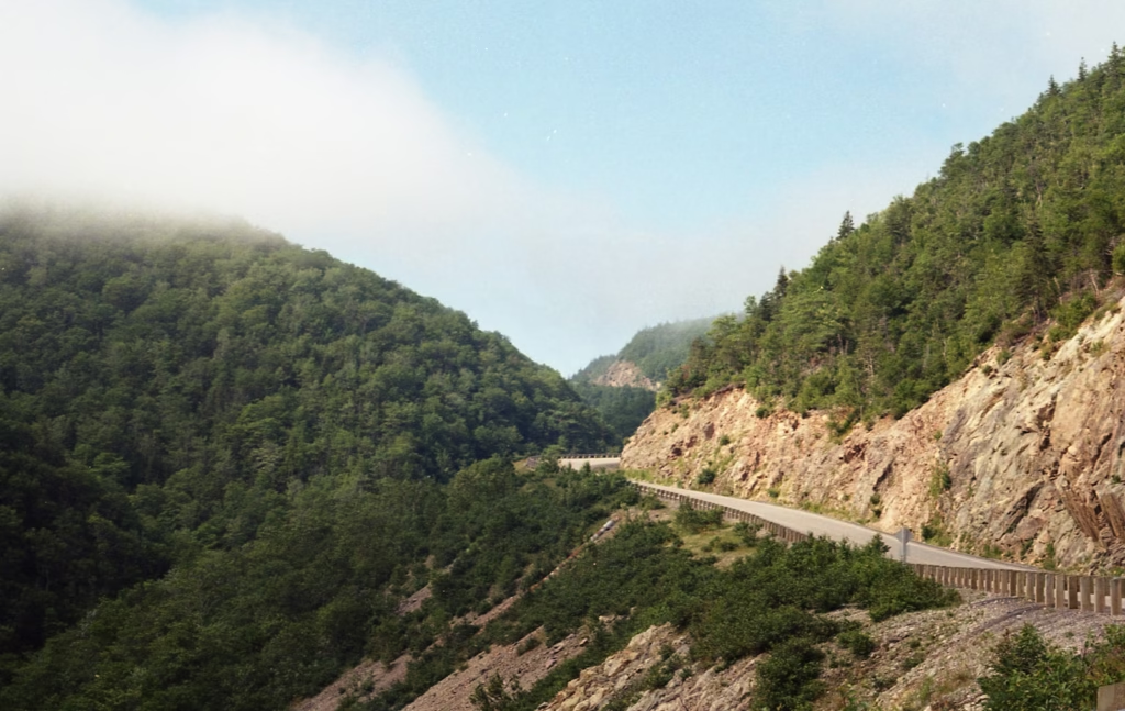
The difficulty comes less from the total distance than from how the climbing is concentrated. Parks Canada lists Smokey Mountain and North Mountain at 12 to 15 per cent, MacKenzie Mountain at 9 to 12 per cent and French Mountain at 9 to 12 per cent. French Mountain rises for about 5.5 km from the bottom to the summit, while the climb from Pleasant Bay to the top of MacKenzie Mountain is about 4.7 km.
Those numbers change the gearing calculation. A fit road cyclist who normally rides a compact chainset with a 28-tooth sprocket may want something lower if carrying luggage. A 30 or 32-tooth largest sprocket is a more forgiving starting point, and touring riders should be happier still with genuinely low climbing gears. There is little benefit in grinding a heavily loaded bike up a 12 per cent ramp when another day of riding follows.
The descents deserve equal respect. They are fast, exposed and can contain sharp bends, debris or sudden changes in visibility. Parks Canada advises road users to use lower gears on mountain descents rather than relying continuously on the brakes. Cyclists should apply the same principle where possible, especially on loaded bikes, and avoid treating the descents as closed-road runs.
For riders planning a Canadian cycling trip, the climbing is quite different from the longer Rocky Mountain gradients found on the Icefields Parkway. Cape Breton’s climbs are shorter, but their steep sections can make them feel more abrupt.
Clockwise or anti-clockwise?
There is no universally correct direction. The decision changes the order of the major climbs, the side of the road from which you see the coast and how the prevailing weather affects a particular day. In Nova Scotia traffic keeps right, so riders should factor that into the views and stopping points rather than assuming one direction is automatically superior.
A clockwise circuit commonly takes riders from the Baddeck side towards Margaree and Chéticamp before entering the western side of the national park. That puts French and MacKenzie Mountains into the northern part of the route before the road swings towards Cape North and eventually Ingonish. An anti-clockwise trip reverses the sequence and brings Smokey Mountain into play earlier.
For a multi-day tour, accommodation availability can matter more than theoretical advantages of direction. Cape Breton has long stretches where communities are small and services are spaced out. Build the itinerary around realistic overnight stops first, then decide which direction produces the most sensible daily distances.
A practical three-to-five-day itinerary
Three days is a strong schedule. It demands repeated long rides with substantial climbing and leaves limited margin for poor weather. Four days gives a better balance for an experienced road cyclist, while five allows shorter stages and more time off the bike. The exact split depends on where you begin because the Cabot Trail is a loop rather than a point-to-point route.
Chéticamp is an obvious western base and one of the main gateways to Cape Breton Highlands National Park. Pleasant Bay is useful for breaking up the mountainous northern section, while Ingonish provides services on the eastern side. Baddeck sits farther south and works well as a start or finish point for visitors arriving by road.
Do not plan every day to the limit of your normal riding range. A 75 km stage here can contain far more work than 75 km on rolling British roads, particularly with panniers. Fog, rain or a strong coastal wind can also turn a comfortable schedule into a slow one. Keeping one or two days shorter gives you room to absorb those conditions without racing daylight.
Our USA and Canada cycling hub has more route ideas if the Cabot Trail forms part of a longer North American trip.
Traffic, shoulders and road safety
The Cabot Trail is a public road, not a cycle route. Parks Canada says work to upgrade sections has included efforts to provide paved shoulders for cyclists, but riders should not expect a continuous protected shoulder around the entire loop. Traffic includes cars, motorcycles, camper vans and larger vehicles, particularly during the main visitor season.
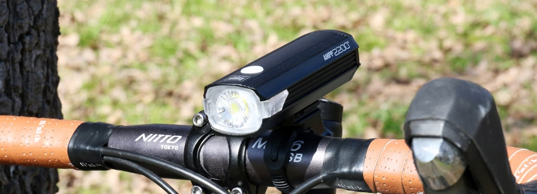
Nova Scotia law requires cyclists of all ages to wear a helmet, and cyclists have the same rights and responsibilities as motorists. Good lights are sensible even for daytime riding because fog can reduce visibility quickly. A rear light is particularly useful on shaded or misty mountain sections.
Parks Canada warns that most accidents in the park happen on the road and advises extra caution after dark, in heavy rain and in high winds. Moose can cross the road and may be difficult to see, especially around dusk. Cell coverage is unreliable within the park, so a mechanical problem or crash cannot be treated as if help is always one phone call away.
Carry basic tools, tubes or plugs appropriate to your tyres, a pump, food and enough clothing for a rapid change in conditions. Water and food are available in communities, but there are stretches where resupply is not immediate. A small power bank is also useful if your phone is handling navigation throughout the day.
Weather and the best time to ride
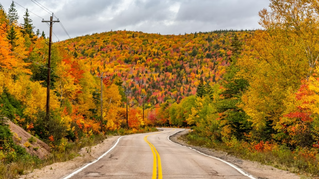
Late spring through early autumn is the realistic window for most visiting cyclists, with summer providing the longest days and the widest range of services. Autumn brings the famous Cape Breton colours, but it also brings cooler temperatures and shorter daylight. Visitor traffic can be heavy during the peak foliage period, so the most photogenic time is not automatically the quietest time to ride.
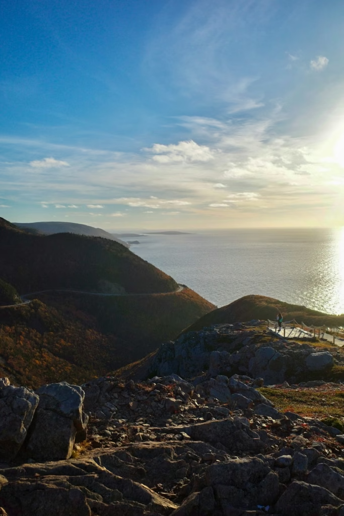
Conditions at elevation can change sharply. Parks Canada specifically notes that weather on the high ground may be very different from lower elevations. Fog and wind are common enough to be treated as normal planning factors rather than exceptional events. A warm start beside the sea does not guarantee a warm summit.
Winter is a different proposition. Sections of the Cabot Trail can be closed when conditions become unsafe, and Parks Canada has gates to support closures around North Mountain and other exposed areas. For a cycling holiday, build the trip around the normal visitor season rather than treating the loop as a dependable year-round road.
National park rules and current 2026 notices
Road cycling on the Cabot Trail is actively promoted by Cape Breton Highlands National Park, but that does not mean bicycles can use every trail. The Skyline Trail is closed to bicycles throughout the 2026 season. If you want to visit Skyline, plan it as a separate walk and follow the park’s access arrangements rather than trying to ride the trail.
There are also live local restrictions that matter when planning stops. As of late September 2026, Parks Canada has a temporary closure affecting MacIntosh Brook Campground, MacIntosh Brook Trail and several nearby properties because of aggressive coyote activity. These notices can change, so check the park’s current bulletins immediately before travelling rather than relying on an itinerary prepared months earlier.
The park is home to black bears, moose and coyotes. Food should be stored securely when camping, and wildlife should never be approached or fed. Riders who stop for photographs should also avoid leaving food or open bags unattended at roadside areas.
Bike choice, tyres and luggage
A road bike is well suited to the main Cabot Trail. The route is paved, and a modern endurance bike with 28 to 32 mm tyres gives a useful mix of speed, grip and comfort. Wider tyres are especially attractive for riders carrying luggage or anyone who wants more security on rougher road edges and damp descents.
For a supported trip, a normal road setup with a small saddle bag may be enough. Self-supported riders should keep luggage compact because every extra kilogram is noticeable on North, French, MacKenzie and Smokey Mountains. Bikepacking bags avoid the weight of racks and panniers, although traditional touring equipment works perfectly well if the gearing is low enough.
Disc brakes are useful in wet weather and on long descents but are not essential. Whatever the system, start with fresh pads and check the bike before the trip. This is not the route on which to discover that a worn drivetrain skips under load or that a neglected brake cable is close to failure.
Planning a Cabot Trail cycling trip
The strongest itinerary is the one that leaves some spare capacity. Book accommodation around sensible distances, use gearing suitable for double-digit gradients, carry layers for the high ground and check road and park notices each morning. The loop rewards riders who give themselves time rather than trying to turn every day into a distance target.
-
 Photo Credit: Getty


It is also worth separating the road ride from the hiking attractions. Skyline is one of the best-known viewpoints in the park, but bicycles are prohibited on the trail and 2026 peak-season parking requires reservations. If it is part of your plans, treat it as an off-bike stop and check the current Parks Canada arrangements before arrival.
For an experienced cyclist, the Cabot Trail combines enough climbing to make the riding satisfying with a landscape that changes repeatedly around the loop. The practical challenge is not finding a scenic section. It is pacing the mountains, weather and distances so that there is still enough energy left to enjoy them.

