
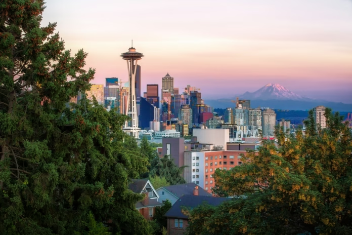
Seattle is not a conventional road-cycling destination.
The city is hilly, frequently wet and divided by water. Its mountain roads are not conveniently gathered around one resort town, while the grandest Cascade passes can sit several hours away and remain closed by snow well into spring.
That complexity is also what makes riding here so rewarding.
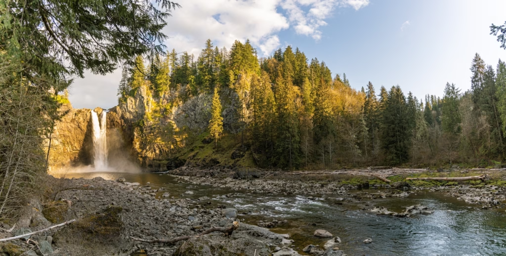
From central Seattle, cyclists can follow waterfront paths, circle lakes and ride through neighbourhoods shaded by cedar and fir. Travel farther east or south and the landscape expands dramatically, with volcanic slopes, deep forests, glacial rivers and roads climbing towards some of the most spectacular high passes in the Pacific Northwest.
The riding changes quickly. An urban morning can become a long day beside Lake Washington. A short drive can place a cyclist beneath Mount Rainier. A weekend farther north can involve Washington Pass, Artist Point or the immense roads of the North Cascades.
Seattle provides the culture and everyday riding. The Cascades supply the scale.
The region sits alongside destinations such as Portland and the Oregon Cascades as one of the Pacific Northwest’s strongest combinations of city riding and serious mountain terrain.
Seattle and Washington Cascades cycling at a glance
| Detail | What to expect |
|---|---|
| Main riding base | Seattle |
| Best season | Usually late May to September for high mountain roads |
| City riding | Waterfront paths, lake loops, trails and steep neighbourhood climbs |
| Major mountain areas | Mount Rainier, Mount Baker, North Cascades and Stevens Pass |
| Signature climbs | Sunrise, Chinook Pass, Artist Point and Washington Pass |
| Road character | Forested, rolling and often remote |
| Weather | Changeable, with rain in the lowlands and snow lingering at altitude |
| Traffic | Variable, from protected trails to exposed mountain highways |
| Best bike | Road bike for paved passes, gravel bike for mixed-surface exploration |
| Defining feature | Huge contrasts between city, water, forest and alpine terrain |
The Washington Cascades are not a place to assume every pass will be open simply because conditions are warm in Seattle. Seasonal closures are common, with opening dates for Chinook, Cayuse and the North Cascades passes varying considerably from year to year.
Current road and pass conditions should always be checked before travelling.
Seattle is a city that makes cyclists work
Seattle rarely allows a rider to forget its topography.
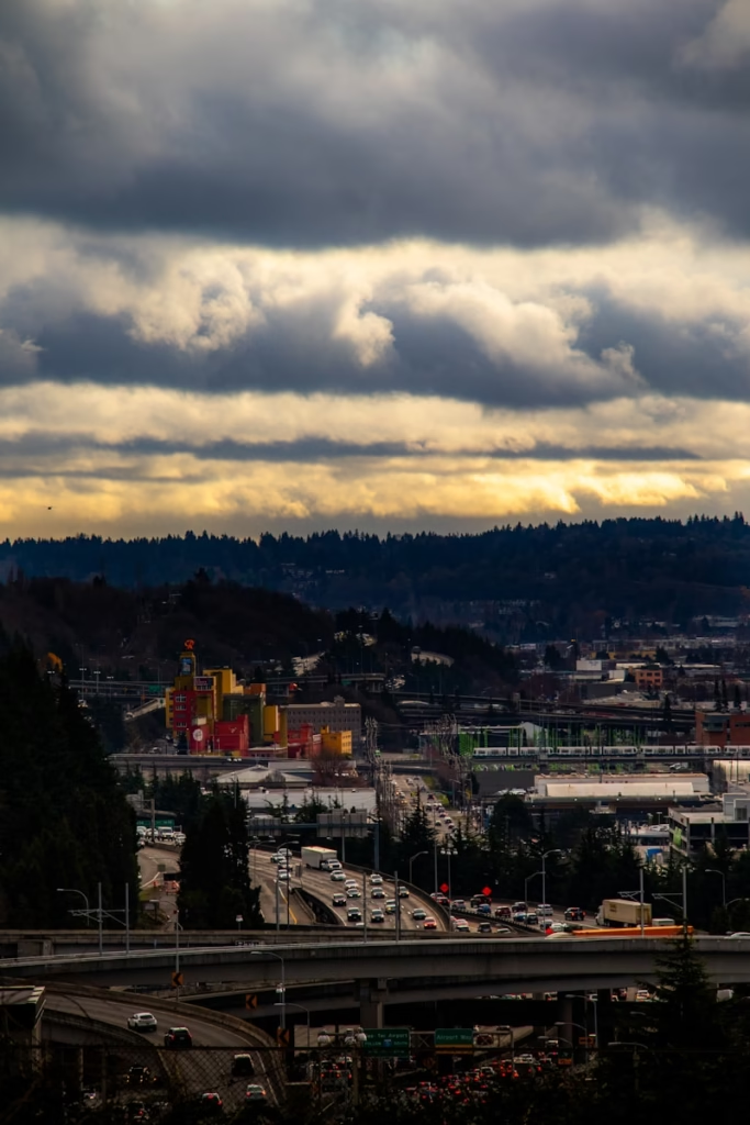
The city rises and falls between Puget Sound, Lake Washington and Lake Union. Roads climb sharply away from the waterfront, descend towards another stretch of water and then rise again through residential neighbourhoods.
A route that appears modest on a map can accumulate surprising elevation.
The steepest streets are usually too short to resemble mountain climbs, but they produce a different challenge. They interrupt rhythm, force repeated accelerations and make easy urban riding harder to achieve than the distance suggests.
That creates a cycling culture built around adaptability.
Local riders learn which roads provide gradual ways through the city, which hills are unavoidable and where a quiet residential street offers a better alternative to a direct arterial road.
Seattle does not provide the broad, uncomplicated boulevards of some American cities. Its best riding comes from joining together trails, waterfronts, bridges and neighbourhood roads.
The Burke-Gilman Trail is Seattle’s cycling spine
The Burke-Gilman Trail is the most important starting point for understanding cycling in Seattle.
It runs east from the Ballard area and connects with the Sammamish River Trail in Bothell, forming part of a much larger regional network. The wider route extends for approximately 27 miles.
For a visiting cyclist, it offers several advantages.
The trail provides a relatively simple way to move between neighbourhoods without constantly negotiating traffic. It passes the northern side of Lake Union, continues near the University of Washington and follows the western shore of Lake Washington before heading towards the suburbs.
It is not a training road on which to ride at full race speed.
Walkers, runners, commuters, dogs and less experienced cyclists all use the trail. Busy sections require patience and careful passing.
Its value is connectivity.
The Burke-Gilman can form the opening section of a longer ride, link central Seattle with the Eastside or provide an easy recovery route when the weather makes exposed roads less inviting.
Lake Washington creates Seattle’s classic longer ride
The Lake Washington loop is one of the most obvious road rides from Seattle.
The full circuit connects the city with communities on the eastern side of the lake, using bridges, trails and residential roads to create a substantial day without leaving the metropolitan area.
Its precise distance depends on the chosen bridges and diversions, but riders can expect a route long enough to feel like a proper endurance ride rather than an urban spin.
The western side includes some of Seattle’s most attractive lakeside roads.
Lake Washington Boulevard follows the water through wooded parks and established neighbourhoods. Views appear between trees, with beaches, boats and Mount Rainier sometimes visible across the lake on clear days.
During summer, scheduled traffic-free weekends can close parts of Lake Washington Boulevard to motor vehicles, creating a more relaxed waterfront environment. The dates vary and should be confirmed before planning around them.
The Eastside feels different.
Roads become broader and more suburban, while the route can pass through Bellevue, Kirkland, Renton or Mercer Island depending on the chosen circuit.
The loop shows why Seattle riding is often about water as much as mountains.
Mercer Island offers a compact training circuit
Mercer Island sits in Lake Washington between Seattle and Bellevue.
Its perimeter roads provide one of the area’s most popular shorter loops. The route is rolling rather than mountainous, with repeated changes in gradient, wooded residential sections and occasional lake views.
It works particularly well for cyclists who want to add structured road riding to a city visit.
The loop can be reached from Seattle using the Interstate 90 trail connection, allowing riders to avoid treating the island as a separate destination.
Traffic can still be present, and the roads are not uniformly wide. The appeal comes from rhythm.
The constant rises and bends create a useful training circuit, while the island is close enough to central Seattle to fit into a morning or evening ride.
Several laps can turn it into a demanding session.
Seattle’s waterfront has become more useful for cycling
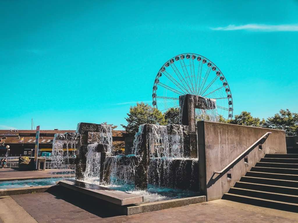
The city’s relationship with Elliott Bay makes the waterfront one of its most distinctive places to ride.
The Elliott Bay Trail provides views across Puget Sound towards ferries, islands and the Olympic Mountains. Newer protected infrastructure along the central waterfront has strengthened the connection between the downtown bike network and the trail farther north.
This is not where riders come for uninterrupted speed.
It is where the city feels most recognisably Seattle.
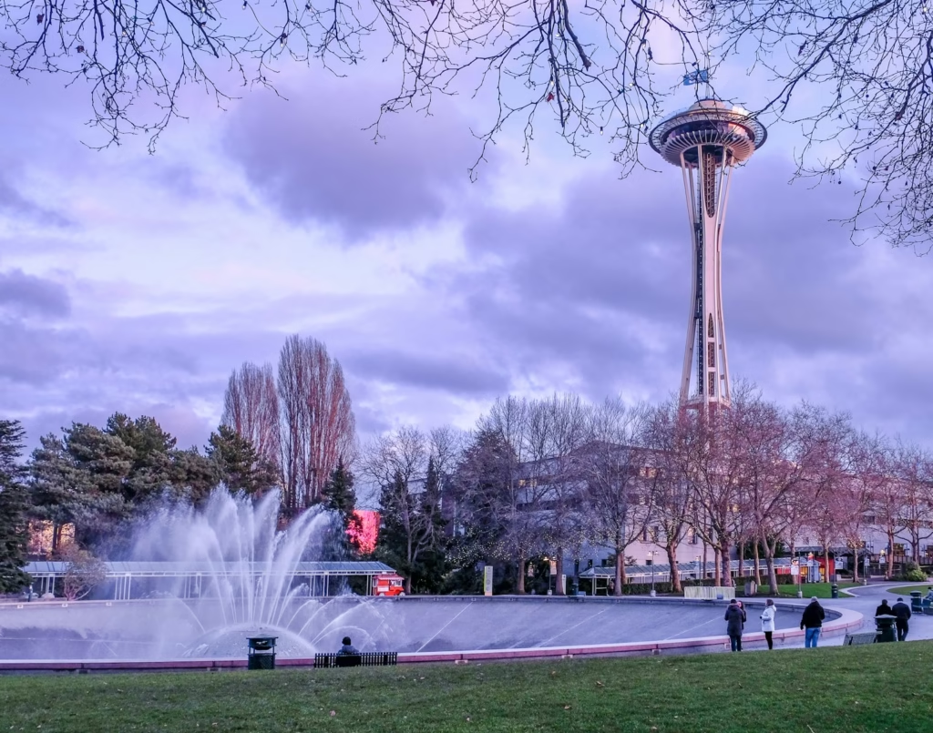
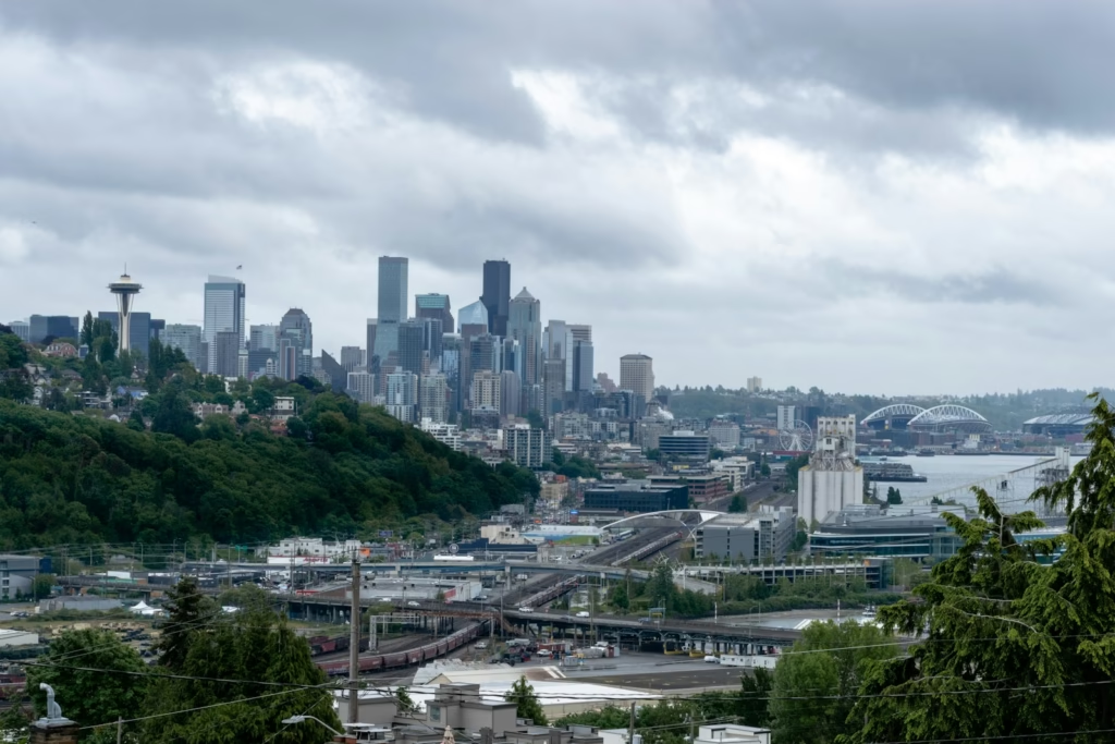
Cargo cranes, ferries, glass towers, salt water and mountain views occupy the same horizon. The riding can be busy and tourist-heavy, but it gives visitors a route through the centre without relying entirely on traffic lanes.
Heading north also opens the possibility of continuing towards Magnolia, Discovery Park and Ballard.
Seattle’s hills provide short, sharp climbing
The city has no single climb that defines local cycling in the way a major Alpine ascent might.
Instead, it offers dozens of shorter tests.
Queen Anne rises abruptly above the surrounding streets. Capitol Hill, Beacon Hill, Magnolia and West Seattle all contain steep roads capable of turning a gentle ride into repeated anaerobic efforts.
Some gradients are severe enough to make gearing important even though the climbs last only minutes.
These streets are best approached with caution.
A descent may contain parked cars, wet leaves, junctions or rough surfaces. The fastest line is rarely the safest one.
The reward is a style of urban riding that feels more varied than a flat city circuit.
A cyclist can build a difficult climbing day without ever leaving Seattle, although the result will resemble a succession of walls rather than one sustained mountain ascent.
Leaving the city changes the atmosphere quickly
Seattle’s urban density gives way to forest and foothills more quickly than many visitors expect.
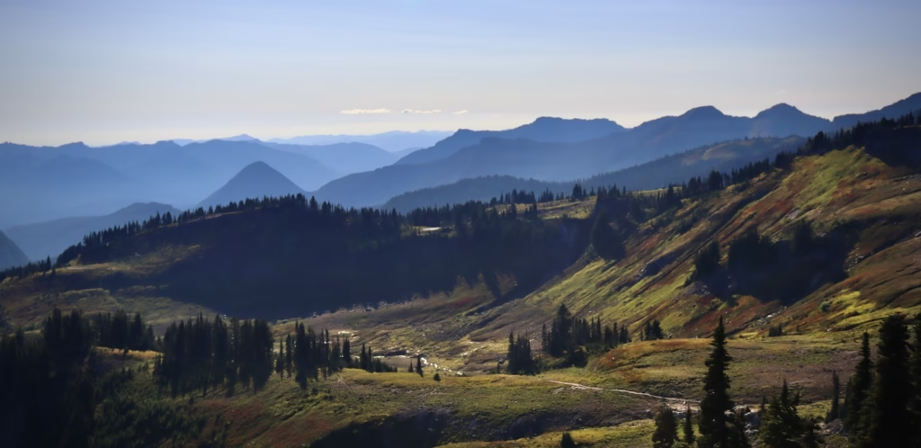
East of the city, the land rises towards the Cascades. Roads follow rivers and valleys before climbing towards Snoqualmie, Stevens Pass and the central mountain range.
South-east, Mount Rainier begins to dominate the landscape.
Northwards, Bellingham and the Mount Baker Highway provide access to some of Washington’s most celebrated alpine riding.
The distances are significant.
A rider planning a major Cascade climb should not assume it can be added casually to a Seattle loop. Many of the best roads require an early drive, an overnight stay or a carefully planned point-to-point ride.
That separation is part of their appeal.
The city falls away, mobile coverage becomes less reliable and the roads begin to feel genuinely remote.
Mount Rainier provides Washington’s most imposing backdrop
Mount Rainier rises to 14,410 feet and dominates the southern Cascade skyline.
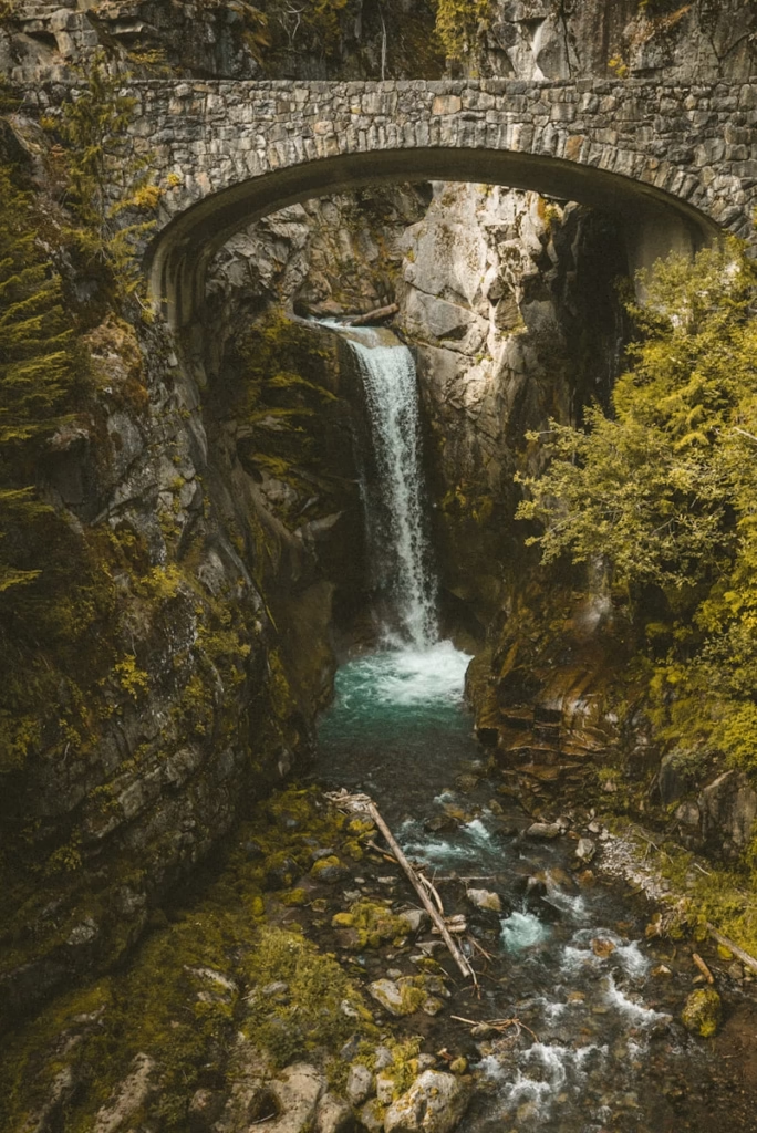
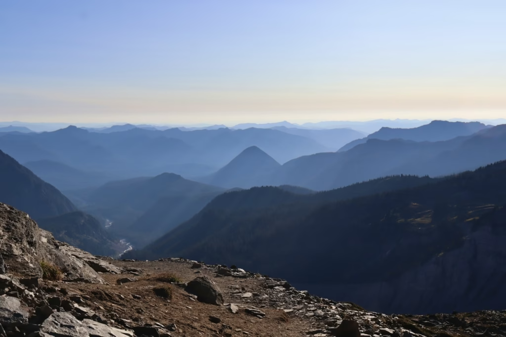
For cyclists, the mountain’s attraction is not simply the summit itself. Roads climb through the surrounding national park, passing deep forest, waterfalls, lava ridges and viewpoints where the glacier-covered volcano appears almost unnaturally large.
The area contains several possible rides rather than one definitive ascent.
Sunrise is the most obvious paved climbing objective on the north-eastern side. Paradise provides another famous high-altitude destination from the south. Chinook Pass and Cayuse Pass can be incorporated into larger loops or used as standalone climbs.
Riding here feels different from climbing in Europe.
There are fewer villages, cafés and spectators. Forest may enclose the road for long stretches before the mountain suddenly becomes visible.
The silence and scale create the atmosphere.
Sunrise is one of Mount Rainier’s great road climbs
The climb to Sunrise is among the finest paved ascents in Washington.
From the north-eastern park boundary on State Route 410, the road covers approximately 20 miles and gains around 3,650 feet. There is no dedicated cycle lane, and the sustained ascent requires careful management of traffic, temperature and effort.
The climb begins among dense trees before opening towards higher, more exposed terrain.
Gradients are generally more persistent than brutal. That makes Sunrise less about surviving one steep ramp and more about maintaining pressure for a long time.
The final approach brings expansive views across the eastern side of Mount Rainier.
On a clear day, snowfields and glaciers dominate the horizon. Even in summer, banks of old snow may remain beside the road.
The descent requires restraint.
Wildlife, vehicles, surface debris and rapidly changing temperatures can all create hazards. A rider who became hot on the climb may feel cold almost immediately after turning downhill.
Paradise is beautiful but often busier
Paradise sits on the southern side of Mount Rainier and is one of the park’s best-known visitor areas.
Roads approaching it climb through forest before emerging beneath the volcano. The landscape is spectacular, but popularity creates a different riding experience from quieter Cascade passes.
Traffic can be heavy during summer weekends.
Riders should consider starting early, avoiding peak visitor hours and using lights even in good weather.
The route can be approached from the Nisqually entrance, potentially producing a long, sustained ascent through the park. It can also form part of a larger Rainier loop for exceptionally strong and well-prepared riders.
Paradise rewards patience rather than aggression.
This is a place to accept the speed of the road, look across the valleys and understand that sharing the route with park traffic is part of the experience.
Chinook Pass combines climbing with a grand summit landscape
Chinook Pass reaches an elevation of approximately 5,430 feet on State Route 410. It sits east of Mount Rainier and usually closes during the snowy part of the year.
The western approach can be combined with Cayuse Pass, while the eastern side offers a long climb from the drier side of the Cascades.
Near the summit, the road passes Tipsoo Lake and provides direct views towards Mount Rainier.
The contrast is striking.
Lower sections pass through deep forest and river valleys. Higher up, the vegetation thins, rock faces become more visible and the landscape begins to feel alpine.
Chinook Pass is not especially steep by the standards of Europe’s hardest climbs.
Its difficulty comes from length, altitude, weather and exposure.
A sunny morning lower down does not guarantee comfortable conditions at the summit.
Riding around Mount Rainier is an endurance project
The idea of circling Mount Rainier has long held a special place in Washington cycling.
The traditional loop is roughly 150 miles and contains close to 10,000 feet of climbing, depending on the exact roads used. It links long valley sections with major passes and produces an all-day challenge closer to an amateur mountain sportive than a casual scenic ride.
The route demands more than fitness.
Riders need a clear resupply plan, suitable clothing, reliable lights and awareness of current road restrictions. Services can be widely spaced, while weather may differ dramatically between sides of the mountain.
The reward is variety.
Rainier repeatedly disappears behind ridges and forest before returning from a different angle. The roads move between wetter western valleys and the drier landscape east of the Cascade crest.
It is one of those rides that feels like a journey rather than a workout.
For riders drawn to similarly large mountain-road projects, cycling the Icefields Parkway offers another North American ride defined by distance, wildlife, weather and huge scenery.
Mount Baker and Artist Point offer a dramatic northern climb
North of Seattle, the Mount Baker Highway climbs from the town of Glacier towards Artist Point.
The full ascent used for the Mount Baker Hill Climb covers approximately 22 miles and gains more than 4,400 feet before finishing at an elevation of about 5,140 feet.
This is one of Washington’s most visually spectacular road climbs.
The lower road follows the North Fork Nooksack River through thick forest. Higher sections climb past the Mount Baker ski area before reaching sweeping bends beneath Mount Shuksan and Mount Baker.
The final kilometres feel genuinely alpine.
Snow can linger through summer, while cloud frequently wraps around the peaks. On a clear day, the rock, glaciers and broad mountain bowl create one of the strongest summit experiences in American road cycling.
The gradients are sustained but generally manageable.
The challenge lies in the distance and the fact that the road continues climbing long after the rider first enters the high mountains.
Artist Point can feel like a road at the edge of the map
Artist Point is not merely the end of a climb.
It feels like a natural viewpoint placed at the end of a road.
There is no village or major settlement waiting at the top. The road simply reaches the high basin and stops beneath the surrounding peaks.
That creates a particularly satisfying sense of arrival.
Cyclists can look back across the switchbacks, pause briefly among the viewpoints and then begin the long descent towards Glacier.
The road’s seasonal nature makes timing important.
Snow clearance, resurfacing, construction and weather can all affect access. Riders should check current conditions rather than relying on historic opening dates.
Weekdays and early starts usually provide a quieter experience.
The North Cascades Highway is Washington’s biggest road-cycling landscape
State Route 20 crosses the North Cascades between the Skagit Valley and the Methow Valley.
For cyclists, the central section around Newhalem, Rainy Pass, Washington Pass and Mazama provides some of the most dramatic paved riding in the United States.
The road passes reservoirs, deep gorges, evergreen forest and sharp granite peaks.
Washington Pass stands at approximately 5,477 feet, with the western ascent extending for more than 20 miles depending on the chosen starting point. The road rises gradually for long periods rather than maintaining one severe gradient.
The scenery grows steadily more imposing.
Near the upper section, Liberty Bell Mountain and the surrounding spires rise almost directly above the road.
This is the Cascades at their grandest.
Washington Pass is difficult because it never feels small
Many European climbs produce their difficulty through steep gradients and repeated switchbacks.
Washington Pass feels hard because of scale.
A rider can spend hours moving through the same mountain corridor. The summit remains distant, the road stretches across broad slopes and the peaks make the cyclist appear insignificant.
The western approach is generally the more dramatic.
Starting near Newhalem or Diablo creates a very long day, particularly if Rainy Pass and Washington Pass are ridden together before descending towards Mazama.
The eastern approach begins in the drier Methow Valley.
This side offers a different atmosphere, with open forest, exposed rock and clearer views of the upper mountain road.
Either direction requires self-sufficiency.
Food, water, repair equipment and emergency clothing should be treated as necessities rather than optional extras.
Rainy Pass is part of the same immense ascent
Rainy Pass lies west of Washington Pass and is often crossed as part of the same ride.
The road does not descend fully between them, meaning the cyclist experiences the two passes as one prolonged journey through the high Cascades.
Rainy Pass lacks the dramatic summit viewpoint of Washington Pass.
Its importance comes from position.
By the time a rider reaches it from the west, considerable climbing has already accumulated. The road then continues towards an even higher and more exposed summit.
This is where pacing becomes decisive.
A rider who treats the first part of the highway as an ordinary approach may pay heavily in the final kilometres to Washington Pass.
The landscape encourages enthusiasm. The distance demands restraint.
Current road access must never be assumed
The North Cascades Highway is particularly vulnerable to snow, wildfire, rockfall and major repair work.
Sections can be affected by emergency closures with relatively little notice, which is why riders must check live access information before planning a crossing.
A closure applies to cyclists as well as drivers unless authorities state otherwise.
A road that appears quiet or physically passable may contain unstable slopes, active machinery or damaged infrastructure beyond the closure point.
The most romantic Cascade rides depend on disciplined planning.
Checking access is part of the ride, not an administrative detail.
The Methow Valley offers a drier side of Washington cycling
East of Washington Pass, the road descends towards Mazama and Winthrop in the Methow Valley.
The landscape changes noticeably after crossing the Cascade crest.
Western Washington’s dense, wet forest gives way to a more open and drier environment. Pines replace some of the heavier vegetation, views extend farther and summer temperatures can become significantly hotter.
Mazama and Winthrop work well as bases for cyclists who want to explore the eastern side of the mountains.
Road riding can include Washington Pass, quieter valley roads and rolling routes through agricultural land.
The Methow also has a strong trail and outdoor culture, making it particularly appealing to riders who combine road and gravel cycling.
The atmosphere is calmer than Seattle and more spacious than the western valleys.
Farther south-east, the roads around Wenatchee have also supported the Tour de Bloom stage race, showing how Washington’s dry interior can produce very different racing from the greener roads west of the Cascades.
Snoqualmie Pass is useful rather than romantic
Snoqualmie Pass is the closest major Cascade crossing to Seattle, but it is not necessarily the region’s finest road climb.
Interstate traffic dominates the corridor, making the principal highway unsuitable as a relaxed road-cycling destination.
Its importance lies in surrounding routes and trail access.
The Mountains to Sound Greenway contains rail-trail riding, gravel roads and connections that allow cyclists to cross sections of the Cascades away from interstate traffic.
For riders on a road bike, the area is often more valuable as a gateway to other climbs than as a summit objective.
Gravel riders will find much more.
Old railway alignments, forest roads and long mixed-surface routes open a different version of Cascade cycling, one less dependent on sharing exposed highways with vehicles.
Stevens Pass is a serious road but demands caution
US Highway 2 crosses the Cascades through Stevens Pass.
The road provides long climbing from either side, but traffic volume and variable shoulder width make it a more complicated recommendation than Artist Point or Sunrise.
Strong and experienced riders may include sections within long-distance routes.
It is not the ideal first Cascade climb for a visitor.
The surrounding area remains important.
Leavenworth sits east of the pass and provides access to quieter roads, canyon riding and the drier eastern foothills. West of the summit, routes through river valleys and forest can offer excellent scenery without requiring a complete highway ascent.
As throughout Washington, route quality depends not only on gradient and scenery but also on traffic.
A beautiful road is not automatically a pleasant cycling road.
The weather creates much of the atmosphere
Seattle’s reputation for rain is not entirely undeserved, but the region’s cycling weather is more varied than the stereotype suggests.
Winter and early spring can bring persistent damp conditions in the lowlands. Summer may provide long periods of dry, clear weather, particularly from July into September.
The mountains create their own conditions.
Cloud can form quickly around high passes. Temperatures may fall sharply with elevation, while wind and rain turn a comfortable climb into a cold descent.
On the eastern side of the Cascades, heat can become the greater problem.
Wildfire smoke is also an increasing summer concern and can make strenuous outdoor activity unwise even when roads remain open.
The best Washington cyclists carry layers and remain willing to change plans.
The mountains reward flexibility more than stubbornness.
Summer is the safest window for the biggest climbs
For most visitors, July, August and early September provide the best chance of accessing the major paved passes.
By then, snow has usually cleared from the roads and daylight remains long enough for major endurance rides.
Late spring can provide special opportunities when a road has been cleared but not yet fully opened to motor traffic.
Those windows are highly dependent on official access rules and should never be assumed.
Autumn can be beautiful, particularly east of the Cascades where larches and other foliage change colour.
The risk is decreasing daylight, colder summits and the possibility of sudden snow.
Urban Seattle remains rideable for much more of the year.
The high mountains do not.
The forests make even ordinary roads feel distinctive
Not every memorable Washington ride requires a famous summit.
The state’s forested foothills create atmosphere on smaller roads around North Bend, Enumclaw, Bellingham, Issaquah and the Snoqualmie Valley.
Trees often stand close to the road, reducing long-distance views but creating a sense of enclosure.
Rivers appear beside the route, while wooden bridges, railway lines and distant snow peaks provide moments of orientation.
These roads suit steady endurance riding.
They are rarely completely flat, yet the gradients are often gentle enough to encourage long periods at a consistent pace.
The experience is quieter and less monumental than Washington Pass.
It may feel more representative of everyday Pacific Northwest cycling.
Gravel expands the possibilities enormously
Washington’s forest road network makes a gravel bike especially useful.
A road cyclist limited to tarmac can still find exceptional riding, but mixed surfaces open quieter ways through the foothills and around Mount Rainier.
Westside Road inside Mount Rainier National Park is one example. The route continues beyond its initial vehicle-accessible section as a largely traffic-free gravel road.
Elsewhere, disused railway trails and logging roads provide long routes away from main highways.
Conditions vary greatly.
A road labelled as gravel may be smooth and compacted, deeply corrugated, muddy or damaged by forestry traffic. Remote routes can also lack mobile coverage and water.
The attraction is solitude.
A rider can leave the metropolitan area and spend hours hearing little beyond tyres, wind and moving water.
Riders deciding whether to prioritise those unpaved options may find our guide to choosing between a road bike, gravel bike or hybrid useful before planning the trip.
Seattle’s cycling culture is practical rather than theatrical
Seattle contains strong recreational, commuting and club-cycling communities.
Bikes are not treated only as weekend sporting equipment. They are used to cross neighbourhoods, reach workplaces and connect with public transport.
That practicality shapes the atmosphere.
The city’s best-known routes are shared spaces rather than pristine training circuits. Riders coexist with commuters, families and runners.
Coffee culture naturally forms part of the experience, but the city does not feel like a cycling resort built around visiting riders.
It feels lived in.
The mountain culture is similarly understated.
A rider completing Washington Pass or Artist Point may share the summit with hikers, skiers, photographers and road-trippers rather than crowds gathered specifically for cycling.
Achievement feels personal rather than performative.
Road surfaces and shoulders vary
Washington’s major highways can include useful shoulders, but coverage is inconsistent.
A broad shoulder may disappear at a bridge, tunnel or narrow rock cutting. Debris can collect outside the vehicle lane, particularly after winter.
Smaller roads may be quieter but provide less space.
Urban routes can contain drainage covers, roots, potholes and wet painted markings. Multi-use trails may also have rough sections or congestion.
Riders should avoid assuming that a mapped cycle route guarantees an uninterrupted protected surface.
Official Seattle cycling maps are a useful starting point, but local knowledge remains valuable.
Descending requires a Pacific Northwest mindset
The major Cascade descents can be long, fast and cold.
A rider may climb in short sleeves and still need a jacket, gloves and warmer layers at the summit.
Forest shade keeps some roads damp long after rain. Needles, gravel and broken branches can gather near corners.
Wildlife is another consideration.
Deer and other animals may cross roads with little warning, particularly early or late in the day.
The best descent is not the one completed at the highest average speed.
It is the one that allows the rider to appreciate the road without becoming surprised by a surface change, vehicle or animal.
Traffic timing can transform a ride
Many of Washington’s finest roads are also scenic driving routes.
The same mountain views that attract cyclists bring cars, motorhomes and motorcycles.
Early starts are therefore valuable.
Beginning at sunrise can provide cooler temperatures, calmer winds and significantly lighter traffic. Weekday riding also changes the experience on roads around Mount Rainier and Mount Baker.
Popular summer weekends are best avoided when possible.
A climb can remain beautiful in traffic, but it loses much of the silence that makes Cascade riding special.
Route planning should consider when the rider will descend as well as when they begin climbing.
Returning during peak visitor traffic may be less comfortable than the outward journey.
What bike and gearing work best?
A modern road bike with low gearing is the most practical option for the paved passes.
The major climbs are not generally defined by prolonged gradients above 10%, but their length makes conservative gearing worthwhile.
A compact or semi-compact chainset paired with a cassette reaching at least 30 or 32 teeth will suit most riders.
Disc brakes are useful for long descents and changeable weather.
Tyres between 28mm and 32mm provide additional comfort and confidence on imperfect surfaces without sacrificing much speed.
A gravel bike becomes the better choice for forest roads, rail trails and mixed-surface exploration.
Whatever the bike, reliability matters more than marginal weight savings.
A mechanical problem far from Seattle is very different from a puncture on the Burke-Gilman Trail.
Essential kit for a Cascade ride
A major mountain day should include:
- A waterproof or windproof jacket
- Full-finger gloves for cold descents
- Two bottles or a larger hydration capacity
- More food than the expected ride requires
- Spare tubes or tubeless repair equipment
- A pump and reliable multitool
- Front and rear lights
- Emergency contact and identification details
- Offline mapping
- Sunscreen
- A method of carrying additional layers
Water availability should be confirmed in advance.
Mountain streams may look clean but should not automatically be treated as safe drinking water.
A compact filter can be valuable on remote gravel routes, although planned resupply remains preferable.
The best riding depends on the kind of trip
Different riders will find different versions of Seattle and the Cascades most rewarding.
| Rider type | Best options |
|---|---|
| First-time visitor | Burke-Gilman, Lake Washington and Mercer Island |
| Urban explorer | Waterfront, Lake Union, Magnolia and neighbourhood climbs |
| Mountain climber | Sunrise, Chinook Pass and Artist Point |
| Endurance rider | Mount Rainier loop or North Cascades Highway |
| Gravel rider | Westside Road and Cascade forest roads |
| Scenic tourist | Lake Washington Boulevard and Mount Rainier |
| Rider seeking solitude | Methow Valley and quieter foothill roads |
| Short-break visitor | Seattle trails plus one major mountain day |
Trying to experience everything in one trip can create too much travel and too little cycling.
A better plan is to combine two layers.
Spend several days riding from Seattle, then move closer to one mountain area for a dedicated climbing day.
The wider ProCyclingUK guide to cycling in the USA and Canada provides alternatives for riders comparing Washington with other North American regions.
A practical Seattle cycling itinerary
A balanced four-day trip could look like this:
Day one: Seattle waterfront and city introduction
Use the waterfront, Elliott Bay Trail and Lake Union connections to understand the city without committing to a long ride.
Add selected neighbourhood climbs if conditions are dry.
Day two: Lake Washington and Mercer Island
Complete a larger metropolitan loop using the Burke-Gilman, lake roads and the Eastside.
This provides proper endurance distance while remaining close to services.
Day three: Recovery or gravel exploration
Ride gently on the trail network or travel towards the chosen mountain base.
Day four: A major Cascade climb
Choose Sunrise, Artist Point or Chinook Pass according to access, weather and location.
Washington Pass deserves a longer trip or an overnight stay closer to the North Cascades.
A trip combining coastal city riding with a large mountain road can also be compared with cycling Vancouver and the Sea-to-Sky Highway, a similar journey through Pacific Northwest water, forest and mountain scenery.
-
 Photo Credit: Getty
What makes cycling here special?
Seattle and the Washington Cascades work because the landscapes do not feel separated.
Water, forest and mountains remain present even inside the city.
A ferry crosses the background of a waterfront ride. Mount Rainier appears at the end of an ordinary street. The Burke-Gilman follows an old railway corridor beneath thick vegetation while high peaks sit beyond the suburbs.
In the Cascades, the scale increases without losing that sense of connection.
Roads follow glacial rivers into forests, climb past snowbanks and emerge beneath volcanoes or granite towers.
The riding can be inconvenient.
Weather interrupts plans. Passes close. Traffic varies. The best roads are spread across a large area, and there may be no café waiting at the summit.
Those difficulties prevent the region from becoming too polished.
Cycling here still feels like entering the landscape rather than consuming a prepared cycling product.
Seattle and Washington Cascades cycling verdict
Seattle is a strong cycling city, but its appeal does not come from easy roads.
It comes from the way a rider can connect waterfronts, trails, bridges, wooded neighbourhoods and steep urban hills into one varied route.
The Cascades then provide a completely different scale.
Sunrise climbs beneath Mount Rainier. Artist Point ends below glaciers and sharp peaks. Washington Pass carries riders through one of the wildest paved mountain corridors in North America.
These are not roads to approach casually.
Seasonal closures, mountain weather, traffic and large distances require preparation. Current access must always be checked, and riders need enough equipment to deal with conditions changing far from the city.
The reward is a cycling landscape with a character entirely its own.
Seattle provides water, coffee, neighbourhoods and an everyday cycling culture. The Washington Cascades provide forests, volcanoes, long passes and a sense of genuine remoteness.
Together, they create a destination where even the difficult logistics become part of what makes the riding memorable.

